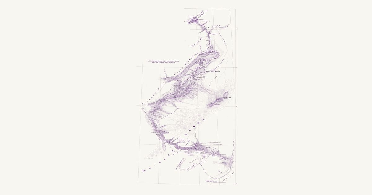
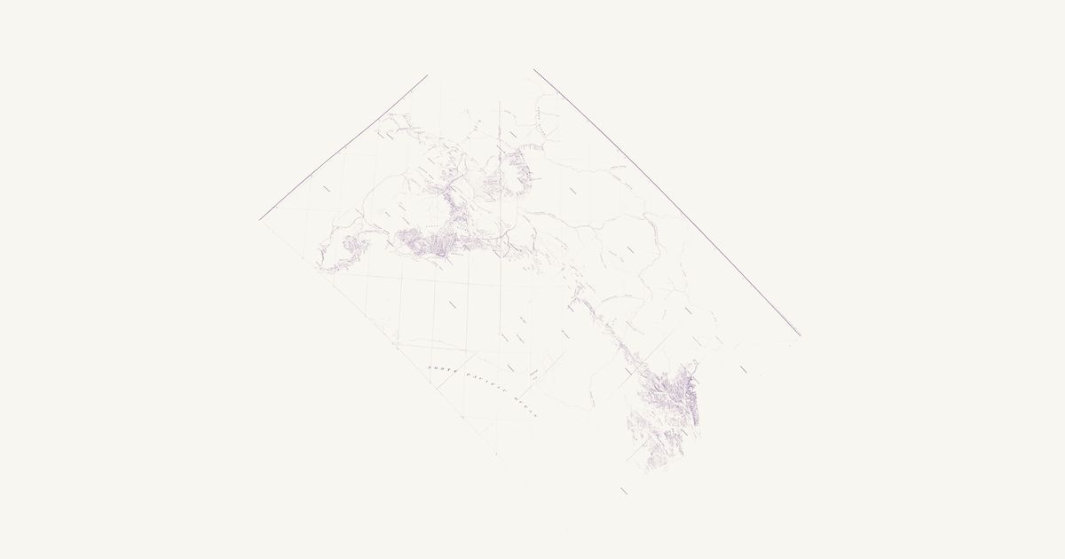
Two 1899 exploration maps: Herron's Indian winter and summer trails from Tyonek over the Alaska Range to the Yukon, and the Geological Survey's route up the Dalton Trail from Lynn Canal to the Tanana.
Lt. Joseph S. Herron, U.S. Army, 1899 · about 16 km accuracy
Lieutenant Joseph S. Herron’s 1899 map of his route from Tyonek on Cook Inlet over the Alaska Range and down the Kuskokwim to the Yukon, guided by Dena’ina and Upper Kuskokwim people: the Indian winter trails and summer trails he followed, the villages, and the Dena’ina and other names of the rivers and mountains.
U.S. Geological Survey (W. J. Peters), 1900 · about 31 km accuracy
The Geological Survey’s map of its 1899 route from Pyramid Harbor on Lynn Canal by the Dalton Trail — the old Chilkat trading trail into the interior — past Kluane Lake and over to the headwaters of the White and Tanana rivers, with the Chilkoot and White Pass trails, Native villages and the camps day by day.
In 1899 the Army’s Cook Inlet Exploring Expedition looked for an all-American route from tidewater to the Yukon. Lieutenant Joseph S. Herron’s party went from Tyonek, the Dena’ina village on the west shore of Cook Inlet, over the Alaska Range to the upper Kuskokwim and on to Fort Gibbon at the mouth of the Tanana, guided much of the way by Dena’ina and Upper Kuskokwim people. His map marks the trails they followed — the “Indian winter trail” and the summer trails between the river systems — with the villages and the Native names of the rivers and mountains along the way.
Reading the overlay
Herron’s map is fitted to its own printed graticule and is accurate to about 16 kilometres; his route was mapped by compass and pace across country no one had surveyed. The trails are drawn as he travelled them, so they are the routes of one expedition in one year, not a complete map of Alaska’s trails. The Geological Survey’s 1899 map of its route from Lynn Canal follows the Dalton Trail, the Chilkat trading trail into the interior, past Kluane Lake to the headwaters of the White and Tanana rivers, with the Chilkoot and White Pass trails; it is a small-scale reconnaissance map placed by its mountains and towns, accurate to about 30 kilometres. More Alaska maps will follow; request a map if you know one.
Know Alaska? Join free to add field notes, fix where a place sits on the map, and help find more maps.Join free
Sources from readers
Know a county history, a survey record or an article that bears on this? Add a source — it’s credited to you.
Advertisement
Your privacy choices. Ads keep this site free; Google serves them. You can turn off personalized ads: you'll still see ads, but not ones chosen from your activity on other sites. In the EU, UK and Switzerland, Google's own consent message asks you instead. Analytics never use cookies or identify you.