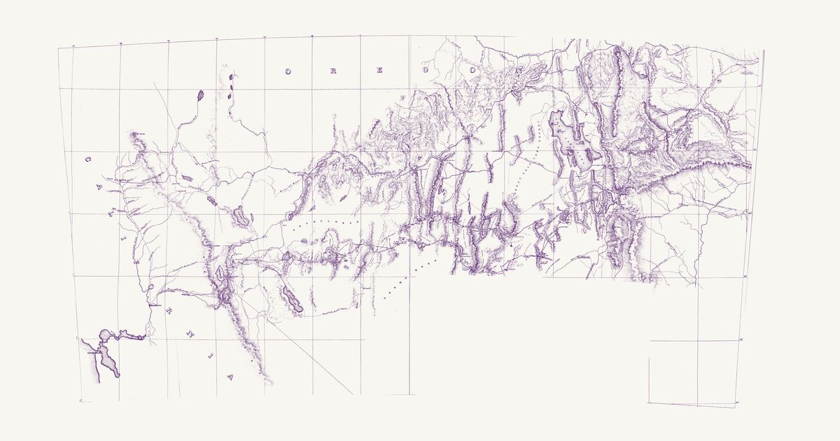
Warren Holt and Grafton T. Brown, 1866 · about 14 km accuracy
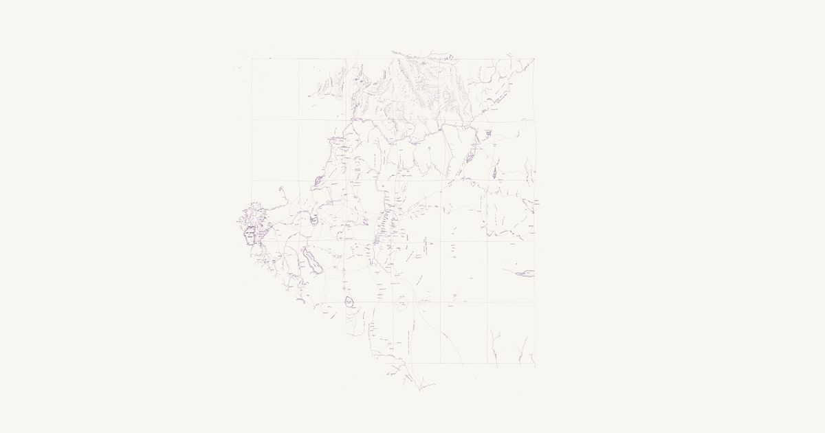
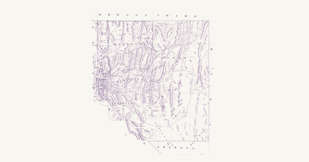
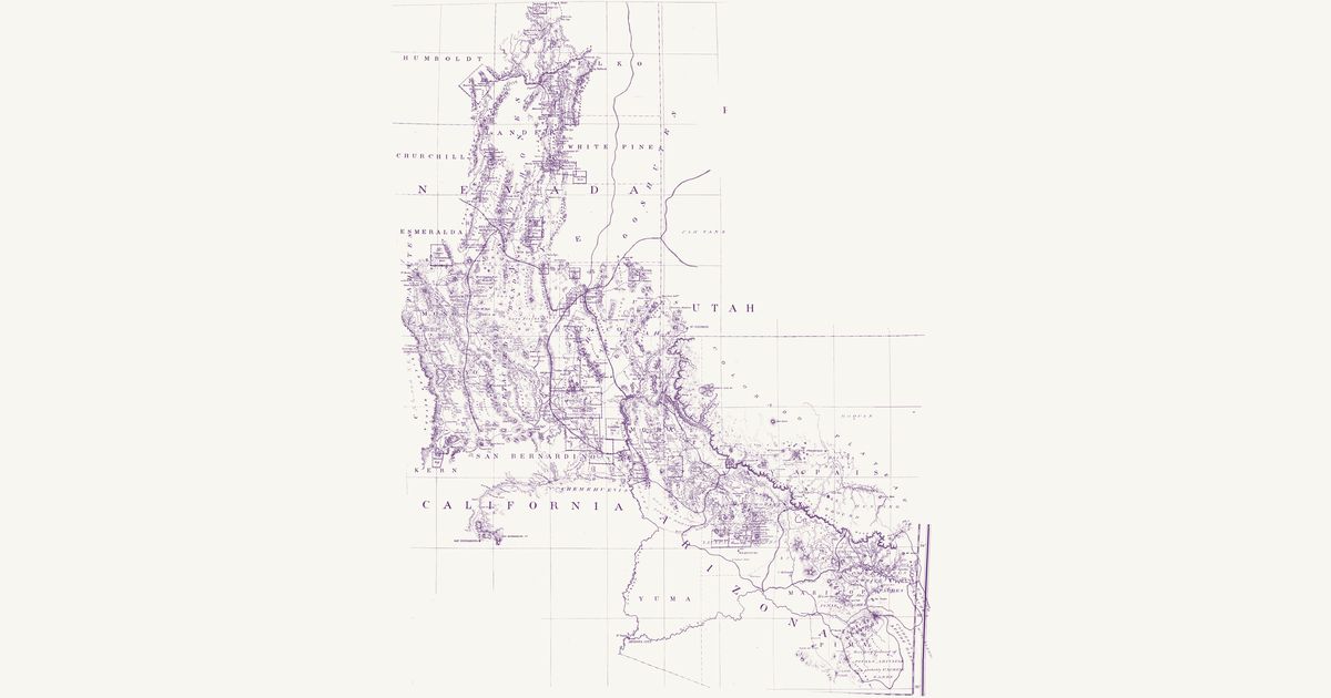
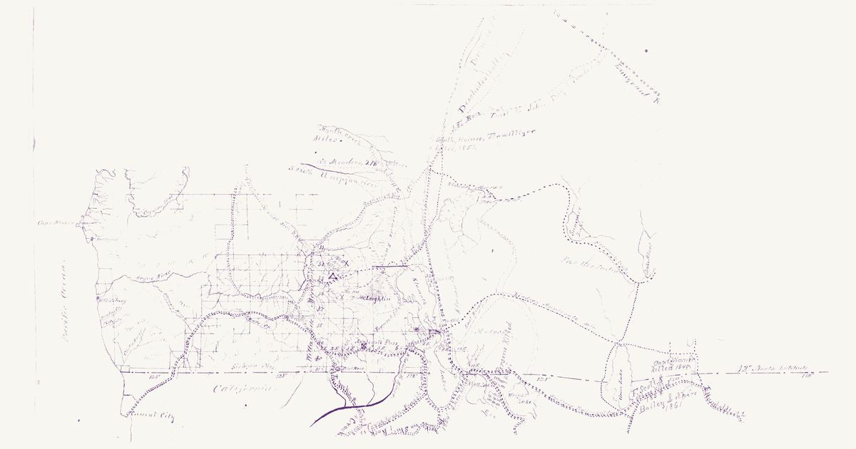
Warren Holt’s map of the State of Nevada, lithographed by Grafton T. Brown in San Francisco in 1866, in the copy the Office of Indian Affairs kept. A manuscript note on the sheet, signed by Franklin Campbell of the Indian service in Nevada, says that “the names and population of the different Indian tribes, the boundary lines of the districts over which they roam and of the Walker, Pyramid and Timber Reserves, are marked in red ink.” Written large in red across the printed counties are the Pi-Utes (Numu, Northern Paiute) from Walker Lake and the Carson Sink north into the Humboldt country, the Washoes around Lake Tahoe and the Truckee Meadows, the Pit River Indians and the Modocs in the north-west corner, the Bannacks along the Oregon and Idaho line (“Pop. 1500”), the Shoshones (Newe, Western Shoshone) in a broad band from the upper Humboldt south through the Reese River, Toiyabe and Diamond ranges, the Goships (Goshute) on the Utah line, and the Pai-Utes (Southern Paiute) in the south-east, with “Death Valley” in red across the south-west; population figures stand beside several names, and red dashed lines bound the districts, the Pyramid Lake and Walker River reservations, and a timber reserve on the Truckee. In our words: the Numu, Washoe, Newe, Goshute and Southern Paiute countries as the Indian Office saw them in 1866. The printed map, on a figured one-degree graticule, shows the counties as they stood in 1866, the Comstock and Reese River mining districts, the Overland Mail and emigrant roads, the prospectors’ and explorers’ trails, a printed “Toquima Indians” by the Toquima range, and a fine dotted “Old Indian Trail” east of Walker Lake toward Ione. Two labels marking graves are masked and not shown.
Source: National Archives · Rights: public domain
Open in the map