Louisiana, 1820 (Melish)
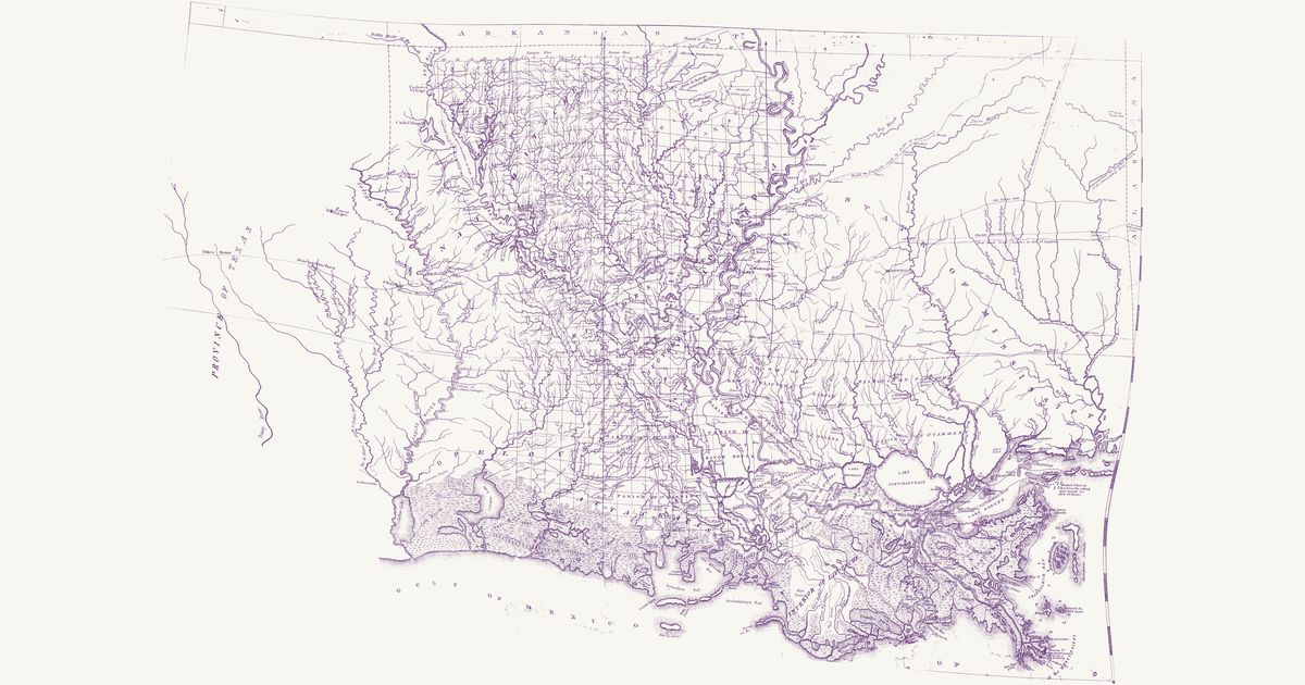
John Melish, 1820 · about 31 km accuracy
John Melish’s map of the state of Louisiana, published in Philadelphia in 1820 and “constructed from the surveys in the General Land Office and other documents”: the parishes, the township grid of the Louisiana survey run from the Basis Meridian and its base line on the 31st parallel, the Red River, Ouachita, Atchafalaya, Teche and Lafourche country and the Mississippi from the Walnut Hills to its mouths, with southern Mississippi below the Choctaw boundary line and East Texas to Nacogdoches. Among its roads it letters an “Indian Path” from the Ayish Bayou to the “Village of Coshatta Savages” on the Sabine — the Coushatta (Koasati), who had moved west from Alabama after 1763 — and, in Mississippi, an “Old Indian Path” from Sally Jones’s on the Pearl to the Old Agency on the Chickasawhay. It marks Caddo, Nadaco (Anadarko), Yatasse, Coushatta and Choctaw villages and an Indian village north of Opelousas.
Source: Library of Congress · Rights: public domain