Mississippi: Native trails and villages

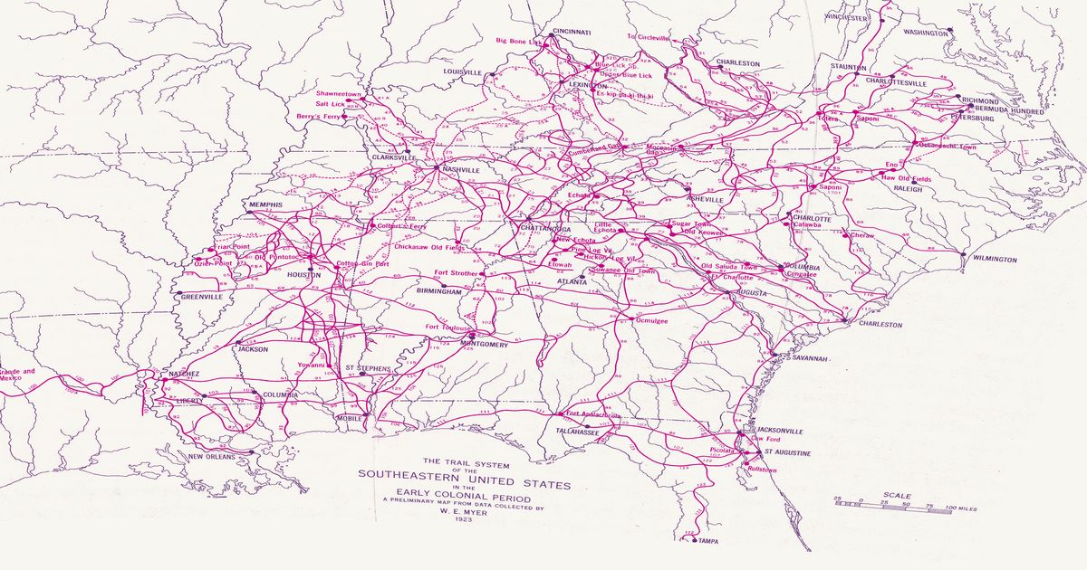
The Natchez Trace from the Grand Village of the Natchez toward Chickasaw country, the Chickasaw Old Fields near Tupelo, and the Choctaw trail network, from Myer's 1928 BAE map.

Open full-screen map

Advertisement

Historic maps for Mississippi

Preview of Louisiana, 1820 (Melish)

Louisiana, 1820 (Melish)

John Melish, 1820 · about 31 km accuracy

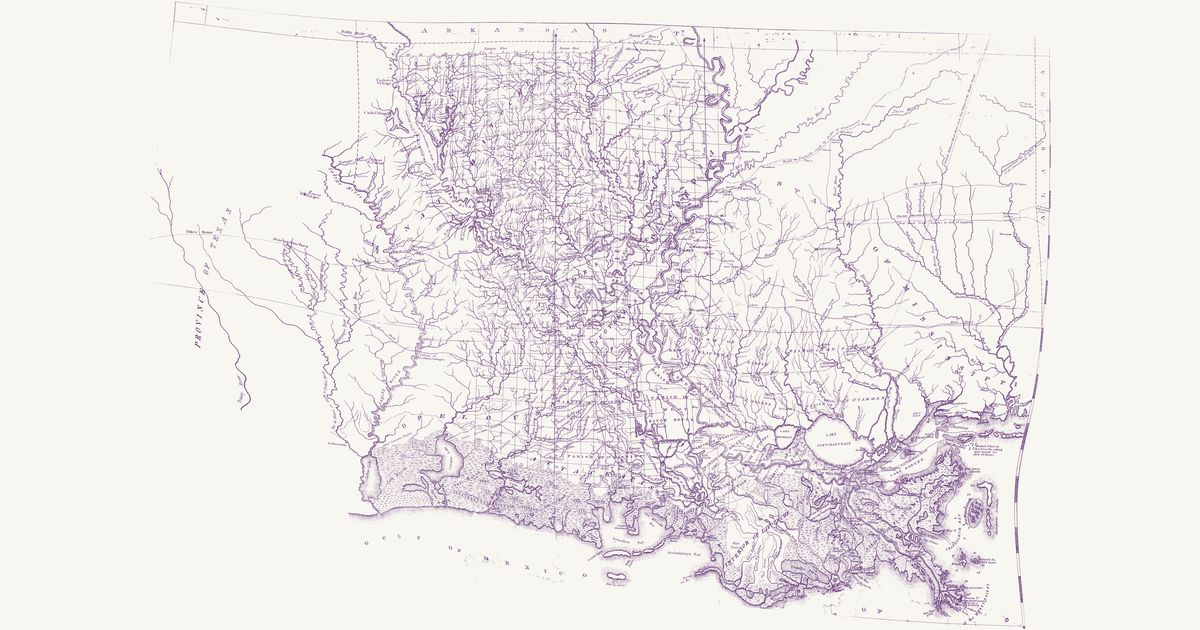
John Melish’s map of the state of Louisiana, published in Philadelphia in 1820 and “constructed from the surveys in the General Land Office and other documents”: the parishes, the township grid of the Louisiana survey run from the Basis Meridian and its base line on the 31st parallel, the Red River, Ouachita, Atchafalaya, Teche and Lafourche country and the Mississippi from the Walnut Hills to its mouths, with southern Mississippi below the Choctaw boundary line and East Texas to Nacogdoches. Among its roads it letters an “Indian Path” from the Ayish Bayou to the “Village of Coshatta Savages” on the Sabine — the Coushatta (Koasati), who had moved west from Alabama after 1763 — and, in Mississippi, an “Old Indian Path” from Sally Jones’s on the Pearl to the Old Agency on the Chickasawhay. It marks Caddo, Nadaco (Anadarko), Yatasse, Coushatta and Choctaw villages and an Indian village north of Opelousas.

Source: Library of Congress · Rights: public domain
Open in the map

Preview of Broutin’s Louisiana routes, 1743

Broutin’s Louisiana routes, 1743

Broutin, de Vergés and Saucier, 1743 · about 29 km accuracy

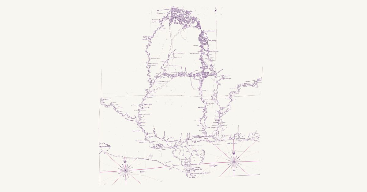
A French manuscript map signed at New Orleans on 10 November 1743 by Demarigny, drawn from the surveys of the engineers Ignace-François Broutin and de Vergés and the draughtsman Saucier: the Mississippi from the Balize to Fort de l’Assomption (Memphis), with the Red River, the Yazoo, the Pascagoula, the Mobile and the Tombigbee up to the Chickasaw country, and the overland routes they measured by pace in the years of the French Chickasaw campaigns of 1736–40, drawn as red dotted lines. A key, “Renvoye des routtes par terre”, names each route by its lettered points: from Fort St. Martin (A) on the Mississippi over the heights (B) to the Yazoo; from Fort de l’Assomption to the first branch of the Yazoo (E) and on to the Chickasaw; up the Margot (F–K); from the Petit portage on the Tombigbee (M) to the Chickasaw; and Saucier’s routes from the Chickasaw to the Choctaw, from the Yazoo (L) to the Choctaw towns and Fort Tombecbé, and from that post to the Chickasaw. A Nota describes the ground of each — open oak ridges and prairie, canebrakes, ravines and drowned bottoms. It draws the Villages Tchkachas (Chickasaw), the Choctaw towns inside a dotted “circuit des villages Tchactas au nombre de 44 villages”, the “passage des anglois” — the English traders’ way — from the Choctaw towns to Tombecbé, the Alabama towns at Fort Toulouse, and the villages and old village sites of the Arkansas, Tunica, Avoyel, Chakchiuma, Ibitoupa, Biloxi, Mobile and Tawasa. The title, key and Nota are not shown.

Source: Library of Congress · Rights: public domain

Open in the map

Preview of Gallatin's tribes of North America, 1836

Gallatin's tribes of North America, 1836

Hon. Albert Gallatin; published by the American Antiquarian Society, Pendleton's Lithography, 1836 · about 100 km accuracy

Albert Gallatin's founding map of American ethnology, published by the American Antiquarian Society with his Synopsis of the Indian Tribes: the homelands of the continent's nations tinted by language family — Algonkin-Lenape, Iroquois, Cherokee, Muskogee, Choctaw-Chickasaw, Sioux, Blackfeet, Pawnee, Athapasca, Eskimaux — as of about 1600 along the Atlantic and about 1800 westward. A continental baseline: every state shows its nations here.

Source: Library of Congress, Geography and Map Division · Rights: public domain

Open in the map

Preview of Southeastern trail system, 1928

Southeastern trail system, 1928

William Edward Myer, 1928 · about 10 km accuracy

William E. Myer's preliminary map of the trail network of the colonial-era Southeast, compiled for the Bureau of American Ethnology from early maps, land records and field work: over 125 numbered trails, historic towns and sites from the Ohio River to the Gulf and from the Mississippi to the Atlantic. Georeferenced to thirty modern city locations.

Source: 42nd Annual Report of the Bureau of American Ethnology (Smithsonian Institution, GPO); scan via Yale Beinecke Library / Wikimedia Commons · Rights: public domain

Open in the map

Preview of Southern Indian trade paths, c. 1770

Southern Indian trade paths, c. 1770

Joseph Purcell and J. R. Swanton, 1922 · about 63 km accuracy

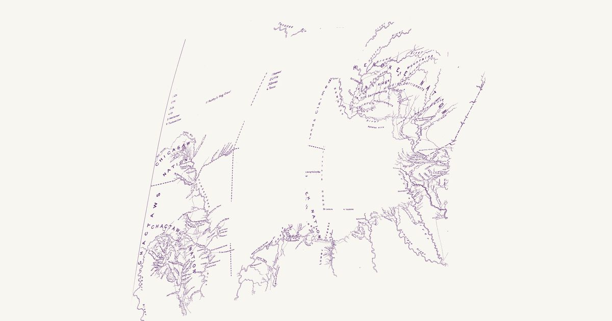
The trading paths linking the Cherokee, Creek, Choctaw and Chickasaw towns, from John Stuart’s Southern Indian District map (Joseph Purcell, c. 1770) as redrawn for John R. Swanton in 1922, with the numbered towns of each nation.

Source: a CONTENTdm library collection · Rights: public domain

Open in the map

Preview of Choctaw, Chickasaw and Creek, 1773

Choctaw, Chickasaw and Creek, 1773

Bernard Romans (Taitt, Gauld), 1773 · about 62 km accuracy

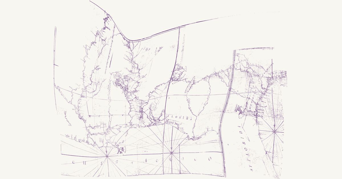
Bernard Romans’s manuscript map of about 1773, compiled for John Stuart, Superintendent of Indian Affairs for the Southern District, for General Gage: West Florida from the Mississippi to the Apalachicola, with Georgia, part of East Florida and the edge of South Carolina, and the Choctaw, Chickasaw and Muscogee (Creek) nations. The Choctaw towns are numbered by party — the Eastern Party, Oypatoocoola, the West Party (Oocolofalaya) and the Six Villages — and keyed in a list beside the Chickasaw villages; the Upper Creek towns are named along the Coosa and the Tallapoosa and the Lower Creek towns along the Chattahoochee. Dotted paths join the Choctaw towns to Fort Tombecbe on the Tombigbee, lead from the Koasati (Coosada) town there toward the Creek Nation, run from Natchez to the Choctaws and link the Upper Creek towns. The road from Pensacola to the Upper Creek Nation and on through the Lower Creek towns to Augusta — the traders’ path, laid down from David Taitt’s courses — is the map’s subject, and its table gives the computed miles along it: Tuckabatchee 243½ from Pensacola, Augusta 541½, Charlestown 715. The coast from the mouths of the Mississippi to Apalache is George Gauld’s. Red lines mark the boundaries laid out between the nations and the provinces. Built from the Hargrett Library’s linen photocopy, with faint lettering read on the Clements Library’s colour original; the table of distances, the remarks, the title cartouche and the lists of villages are not shown.

Source: Hargrett Library, University of Georgia, via the Digital Library of Georgia · Rights: public domain

Open in the map

What the 1928 map shows

William E. Myer compiled the Bureau of American Ethnology’s trail map of the colonial-era Southeast from early maps, land grants and field work — over 125 numbered trails. The Natchez Trace from the Grand Village of the Natchez toward Chickasaw country, the Chickasaw Old Fields near Tupelo, and the Choctaw trail network, from Myer’s 1928 BAE map.

Reading the overlay

At the plate’s small scale a drawn trail is a corridor several kilometres wide: read it as which valley and which gap, not which ridge. Switch to the scan layer to read Myer’s own lettering and trail numbers.

Talk about Mississippi

Discussion board for MS

Start a thread All discussions

Know Mississippi? Join free to add field notes, fix where a place sits on the map, and help find more maps.Join free

Sources from readers

Know a county history, a survey record or an article that bears on this? Add a source — it’s credited to you.

Advertisement