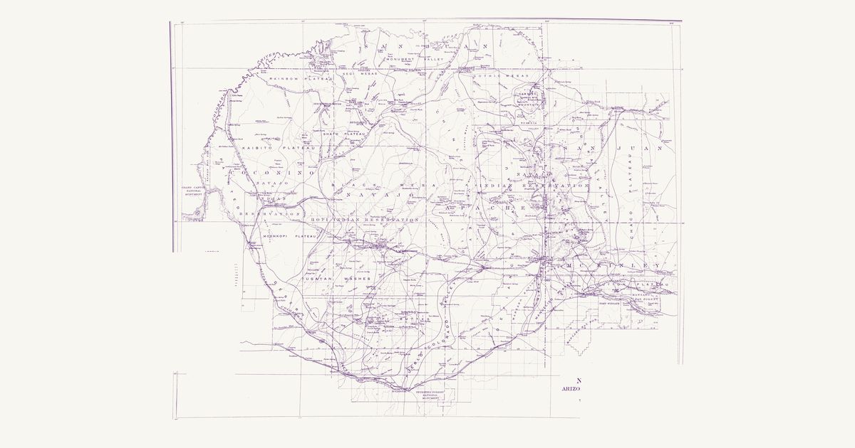
Herbert E. Gregory, USGS, 1916 · about 7 km accuracy
Herbert E. Gregory’s survey map of the Diné and Hopi country between the Colorado, the San Juan and the Puerco: the trails between springs, trading posts and missions, the reservation lines, and the routes of the explorers before 1909.
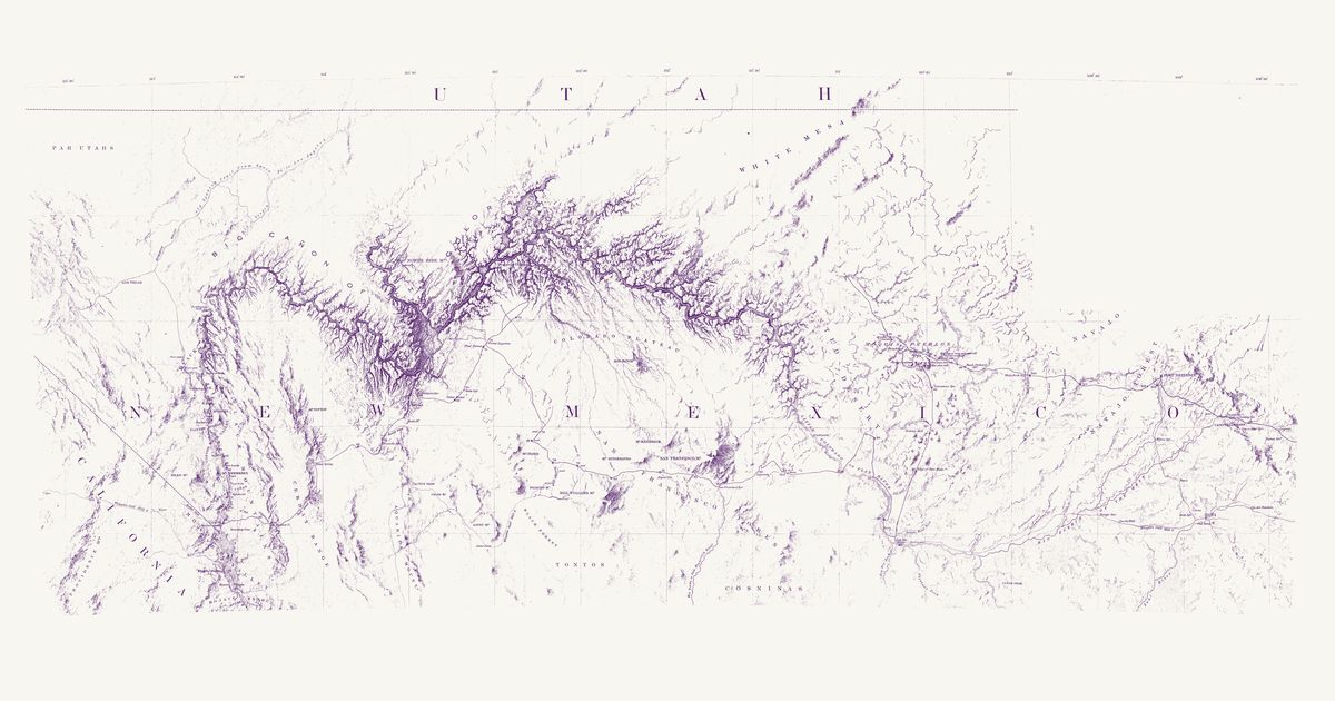
Lieut. Joseph C. Ives; drawn by F. W. von Egloffstein, 1858 · about 12 km accuracy
Lieutenant Joseph C. Ives’s map of his 1857–58 expedition up the Colorado River and east across the plateau to the Hopi mesas, Fort Defiance and Zuni, drawn by F. W. von Egloffstein. It names the Hopi villages one by one — Orayba (Oraibi), Shung-o-pah-wee (Shungopavi), Sha-pau-lah-wee (Shipaulovi), Moo-sha-neh (Mishongnovi), Hual-pee (Walpi), See-cho-mah-wee (Sichomovi) and the Tegua town (Hano) — with Zuni and the country of the Navajo, Hualapai, Havasupai (“Cosninas”), Southern Paiute (“Pah Utahs”) and Tonto, and marks two “Ind. trail” lines crossing its route east of the mesas, between Peach Orchard Spring and Pueblo Colorado Wash.
Hon. Albert Gallatin; published by the American Antiquarian Society, Pendleton's Lithography, 1836 · about 100 km accuracy
Albert Gallatin's founding map of American ethnology, published by the American Antiquarian Society with his Synopsis of the Indian Tribes: the homelands of the continent's nations tinted by language family — Algonkin-Lenape, Iroquois, Cherokee, Muskogee, Choctaw-Chickasaw, Sioux, Blackfeet, Pawnee, Athapasca, Eskimaux — as of about 1600 along the Atlantic and about 1800 westward. A continental baseline: every state shows its nations here.
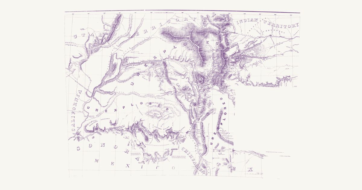
John G. Parke and Richard H. Kern, 1851 · about 45 km accuracy
The first survey map of the new Territory of New Mexico: the pueblos, the Navajo, Apache, Ute and Comanche country, the trails between the springs and the Rio Grande towns, and the routes of the 1846–51 expeditions.
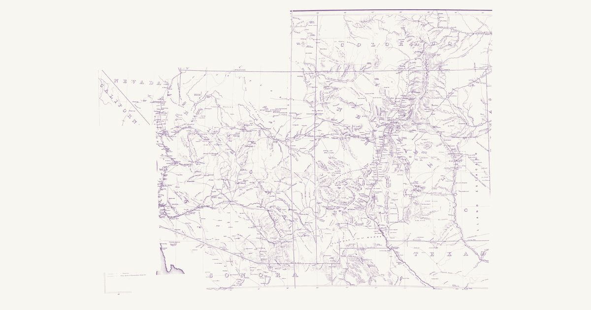
U.S. Topographical Engineers, 1867 · about 23 km accuracy
The War Department’s map of the old Territory of New Mexico (today’s New Mexico and Arizona): the Indian trails, springs and water holes, the pueblos, the Navajo, Apache and Ute country, and the routes of the survey and military expeditions of the 1840s and 1850s.
John Pope, Topographical Engineers, 1859 · about 8 km accuracy
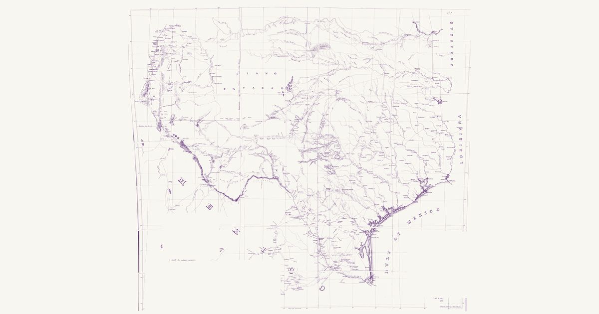
Captain John Pope’s survey map along the 32nd parallel, from the Red River to the Rio Grande: the Comanche and Kiowa trails, springs and water holes across the Staked Plain and the Pecos country, and the routes of the survey parties.
U.S. Topographical Engineers, 1857 · about 21 km accuracy
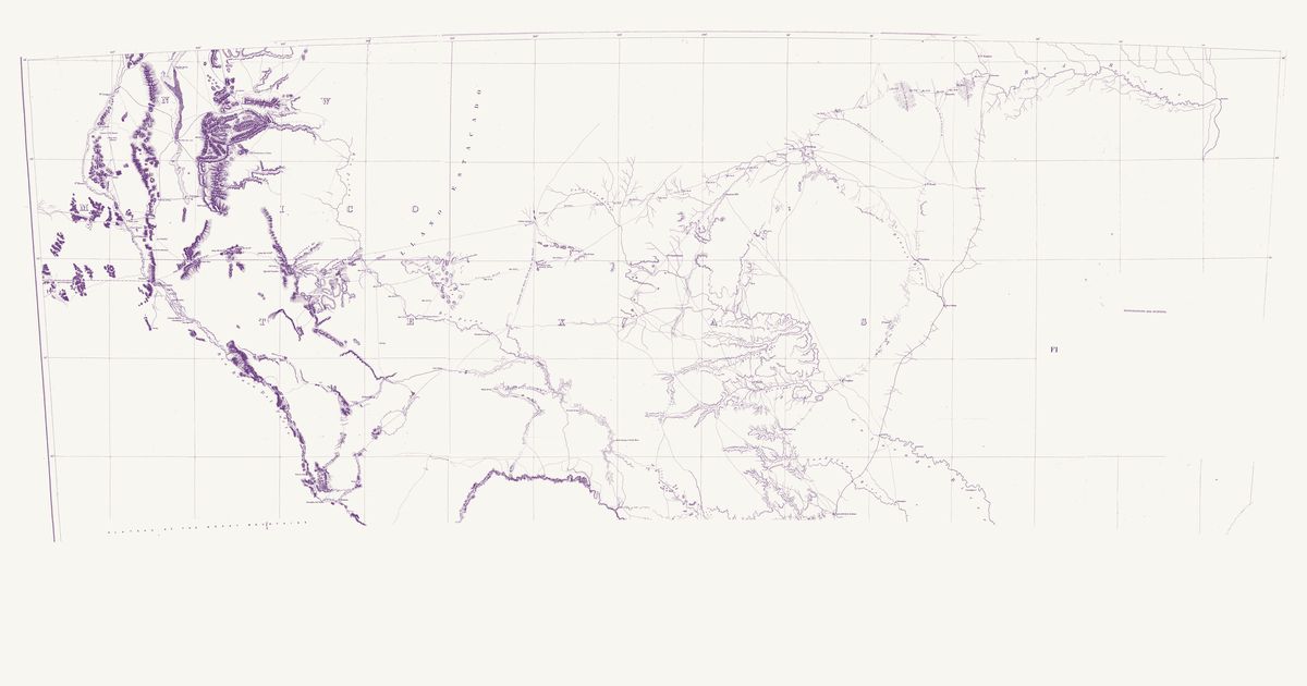
The Army’s 1857 compilation of the routes across Texas and New Mexico: the Comanche Trail from Horsehead Crossing on the Pecos by Comanche Spring toward Mexico, the Indian trails of the Edwards Plateau, and the military roads between the forts.
Lieut. G. K. Warren, Topographical Engineers, U.S. War Department, 1857 · about 50 km accuracy
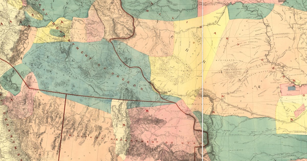
Lieutenant G. K. Warren's master map of the West, compiled in the Office of Pacific Railroad Surveys from every reliable exploration to date: the named country of each nation — Dacotas, Sheyennes, Comanches, Shoshonees, Utahs, Navajoes, Apaches, Blackfeet, Crows, Nez Perces, Pawnees and many more — with villages, forts, and the explorers' and emigrant routes that followed Native trails.
Lieut. A. W. Whipple, Topl. Engrs., assisted by Lieut. J. C. Ives and A. H. Campbell, 1855 · about 25 km accuracy
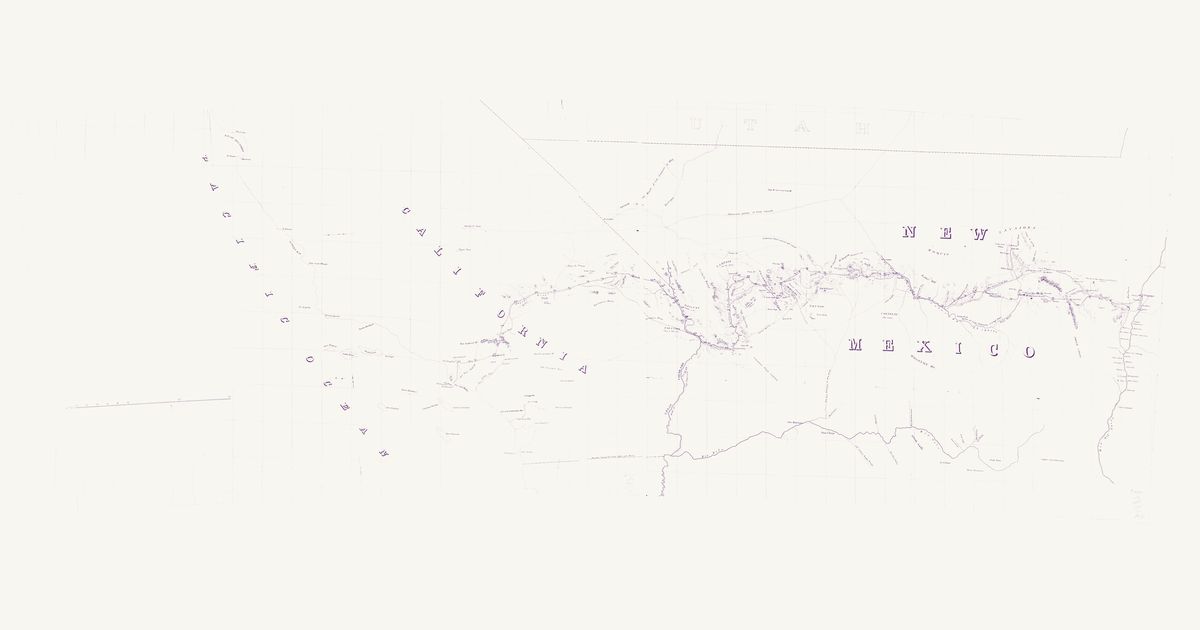
Lieutenant Amiel W. Whipple’s reconnaissance for a railroad near the 35th parallel, 1853–54, from the Rio Grande at Albuquerque to Los Angeles (Map No. 2 of his report). It marks the Spanish Trail by the Vegas springs, a trail through the country it labels “Yampais (Ya-ba-pais)”, the Hopi (“Moquis”) and Navajo country, Zuni, Old Zuni and the Rio Grande pueblos, and the route down the Mojave River and over Cajon Pass.
Lieutenant G. K. Warren compiled the War Department’s master map of the West from every exploration to date. Each nation’s country is named and tinted, with villages, forts, and the exploration and emigrant routes — most of them following trails travelled for centuries. Use the scan layer: the color tints carry the meaning.
Reading the overlay
At 1:3,000,000 the territory boundaries are Warren’s synthesis, not surveyed lines — read them as whose country, accurate to a few tens of kilometres.
Know New Mexico? Join free to add field notes, fix where a place sits on the map, and help find more maps.Join free
Sources from readers
Know a county history, a survey record or an article that bears on this? Add a source — it’s credited to you.
Advertisement
Your privacy choices. Ads keep this site free; Google serves them. You can turn off personalized ads: you'll still see ads, but not ones chosen from your activity on other sites. In the EU, UK and Switzerland, Google's own consent message asks you instead. Analytics never use cookies or identify you.