Ohio: Native trails and villages

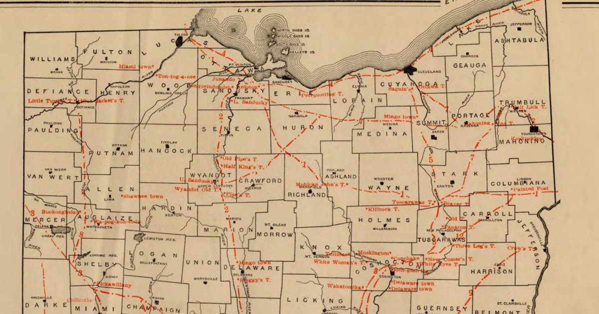
Mills' 1914 statewide plate of Ohio's Indian trails and towns — the numbered trail network in red with Pickawillany, Wapakoneta, Coshocton and the Wyandot towns named in place.

Open full-screen map

Advertisement

Historic maps for Ohio

Preview of Whitewater Indian Trail, 1925

Whitewater Indian Trail, 1925

J. L. Heinemann, 1925 · about 16 km accuracy

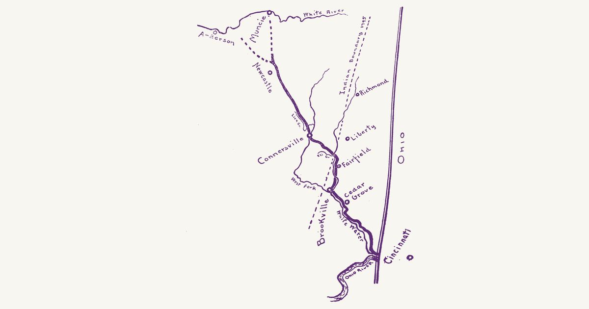
The sketch map from J. L. Heinemann’s local history The Indian Trail Down the White Water Valley (third edition, Indianapolis, 1925). A heavy line draws “The Trail” as he reconstructed it from settlers’ traditions: from the Lenape (Delaware) towns on the upper White River — dashed branches from Muncie and from toward Anderson, meeting north of New Castle — down Lick Creek to the ford of the West Fork at Connersville, across to the East Fork at Fairfield, and down the Whitewater past Brookville and Cedar Grove to the Ohio at the state line below Cincinnati. A dashed line marks the 1795 Indian boundary (the Greenville Treaty line) past Richmond and Brookville, with Liberty between. This was Miami (Myaamia), Lenape and Shawnee country; the Lenape towns on the White River stood until the removal of 1821. The facing page of text is not shown.

Source: Indiana Memory (Indiana State Library) · Rights: public domain
Open in the map

Preview of Kentucke, 1784

Kentucke, 1784

John Filson, 1784 · about 33 km accuracy

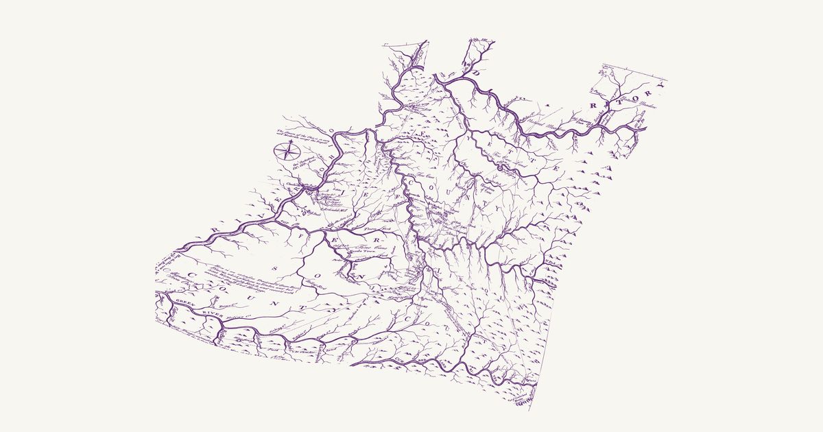
John Filson’s first map of Kentucky: the Warrior’s Path from the Cumberland to the Ohio, Bird’s War Road up the Licking, the War Road from Big Bone Lick, the Wilderness Road, and the stations and licks of the settlement years.

Source: Library of Congress · Rights: public domain

Open in the map

Preview of Surveyed Michigan, 1836 (Farmer)

Surveyed Michigan, 1836 (Farmer)

John Farmer, 1836 · about 4 km accuracy

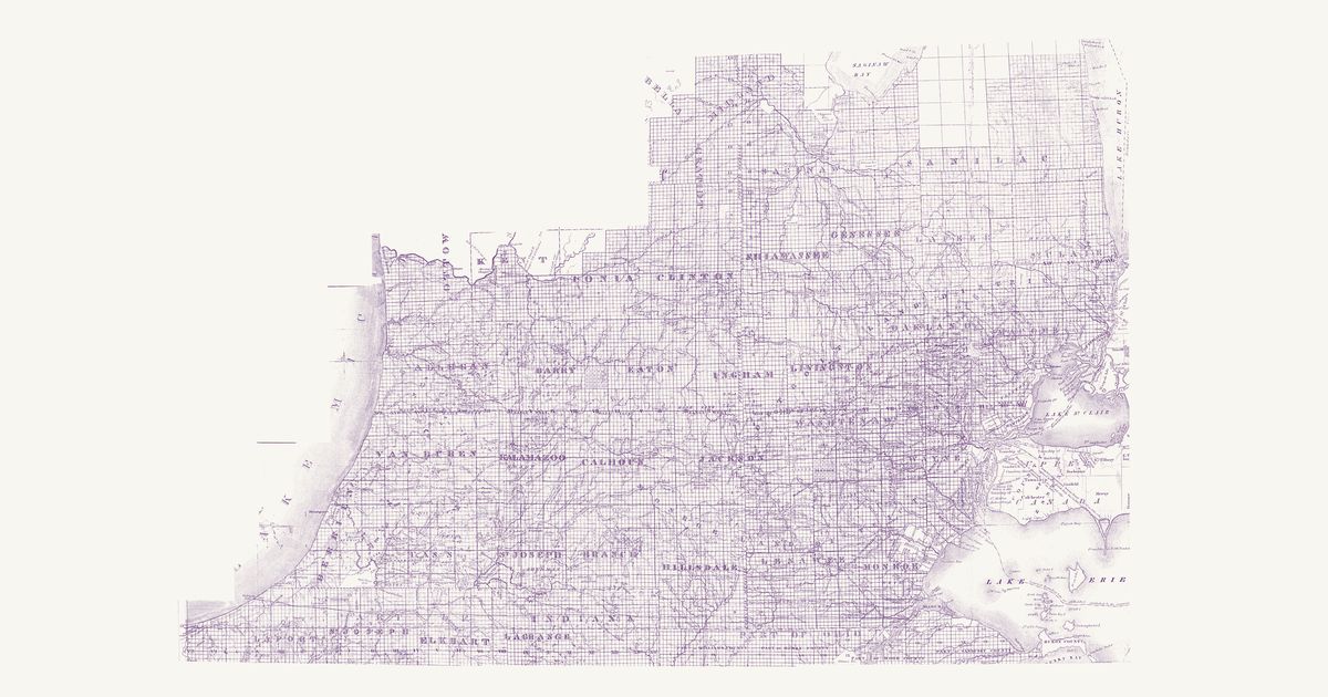
John Farmer’s map of the surveyed part of Michigan Territory, engraved and published by J. H. Colton in New York in 1836: the lower peninsula from Lake Michigan to the Detroit and St. Clair rivers and north to Saginaw, laid out in its counties, townships and sections, with the strip of northern Ohio and Indiana below the disputed state lines (Harris’s line of 1817 and the line of 1818 both drawn). It shows the towns, mills and post offices of the land rush and its roads — the Chicago Road, the Territorial and Saginaw roads, the U.S. Turnpike to the Maumee and the Erie and Kalamazoo Rail Road — and the Anishinaabe (Ojibwe, Odawa, Potawatomi) and Wyandot country they crossed: Indian villages on the St. Joseph, the Coldwater, the Thornapple, the Flint and the Grand, the reserves kept in the treaties of 1807–1821 (the Wyandot reserve at Brownstown, the reserves on the Cass and Flint above Saginaw, the Indian reserve on the Coldwater, the Ottawa reserve on the Maumee), the “Indian Boundary Line” and the “Indian Country” north of the Grand River, and, in fine dots, the trails — the “Chicago Trail” beside the Chicago Road, “St. Joseph’s Trail” across Jackson and Washtenaw, the “Washtenaw Trail”, the “Hog R. Trail” and an “Indn Trail” among others. The unsurveyed country north of the Grand River, sketched too freely to place, is not shown; nor are the title and the insets of Mackinac, Green Bay and the lead mine district.

Source: Michigan State University Libraries · Rights: public domain

Open in the map

Preview of Surveyed Michigan, 1825 (Risdon)

Surveyed Michigan, 1825 (Risdon)

Orange Risdon, 1825 · about 3 km accuracy

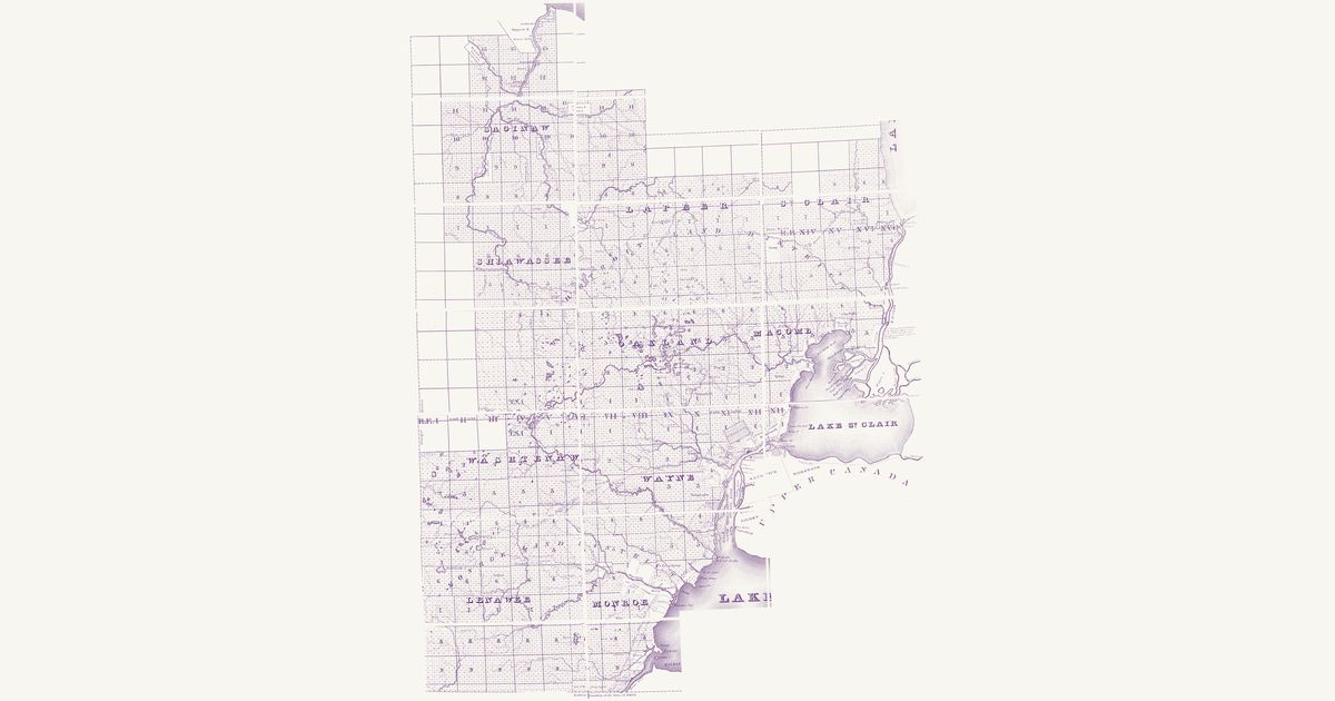
Orange Risdon’s map of the surveyed part of Michigan Territory, engraved by Rawdon, Clark & Co. at Albany in 1825: the country of the first land sales, from the Detroit and St. Clair rivers west to the Principal Meridian and north to Saginaw, laid out in its counties, townships and sections, with the strip south to the line it marks as the northern boundary of Ohio (Port Lawrence, now Toledo, north of it) and the Upper Canada shore from Sandwich to Amherstburg. It shows the young towns — Detroit, Monroe, Pontiac, Mt. Clemens, Ann Arbor, Ypsilanti, Dexter, Tecumseh, Palmer (St. Clair) and Saginaw — with their mills, inns and roads, among them the new “United States Road” toward Chicago, and the Anishinaabe (Ojibwe, Odawa, Potawatomi) and Wyandot country they were laid over: Indian villages on the Saginaw, the Cass, the Flint and the Raisin, at Brownstown and on Lake St. Clair, and the reserves kept in the treaties of 1807–1819 with their acreages — the Wyandot reserve at Brownstown, the Macon reserve on the Raisin, Tonquish’s and the “Sequinsackin Res.” on the Rouge, Maconce’s on Lake St. Clair, and the Saginaw reserves on the Saginaw, Tittabawassee, Cass, Flint and Shiawassee. In fine dots, keyed “Indian Trails”, it draws a web of trails, none of them named: from Saginaw up the Flint and the Shiawassee, across Livingston and Oakland to the lakes and on to Detroit, west from Ann Arbor toward the St. Joseph country, and from Saline by Tecumseh west — the Detroit–Chicago trail. The unsurveyed Thumb and Saginaw Bay, sketched too freely to place, are not shown; nor are the title, the key, and Lake Erie with its islands.

Source: Michigan State University Libraries · Rights: public domain

Open in the map

Preview of Gallatin's tribes of North America, 1836

Gallatin's tribes of North America, 1836

Hon. Albert Gallatin; published by the American Antiquarian Society, Pendleton's Lithography, 1836 · about 100 km accuracy

Albert Gallatin's founding map of American ethnology, published by the American Antiquarian Society with his Synopsis of the Indian Tribes: the homelands of the continent's nations tinted by language family — Algonkin-Lenape, Iroquois, Cherokee, Muskogee, Choctaw-Chickasaw, Sioux, Blackfeet, Pawnee, Athapasca, Eskimaux — as of about 1600 along the Atlantic and about 1800 westward. A continental baseline: every state shows its nations here.

Source: Library of Congress, Geography and Map Division · Rights: public domain

Open in the map

Preview of Heckewelder’s Ohio paths, 1796

Heckewelder’s Ohio paths, 1796

John Heckewelder, 1796 · about 42 km accuracy

The Moravian missionary John Heckewelder’s manuscript map of northeastern Ohio, made for the Connecticut Land Company in 1796: the Indian paths between the Cuyahoga, the Tuscarawas, the Beaver and Pittsburgh, the Moravian Indian towns, and the lands of the purchases.

Source: Wikimedia Commons · Rights: public domain

Open in the map

Preview of Eastern Ohio trails, 1902 (Hulbert)

Eastern Ohio trails, 1902 (Hulbert)

Archer Butler Hulbert, 1902 · about 27 km accuracy

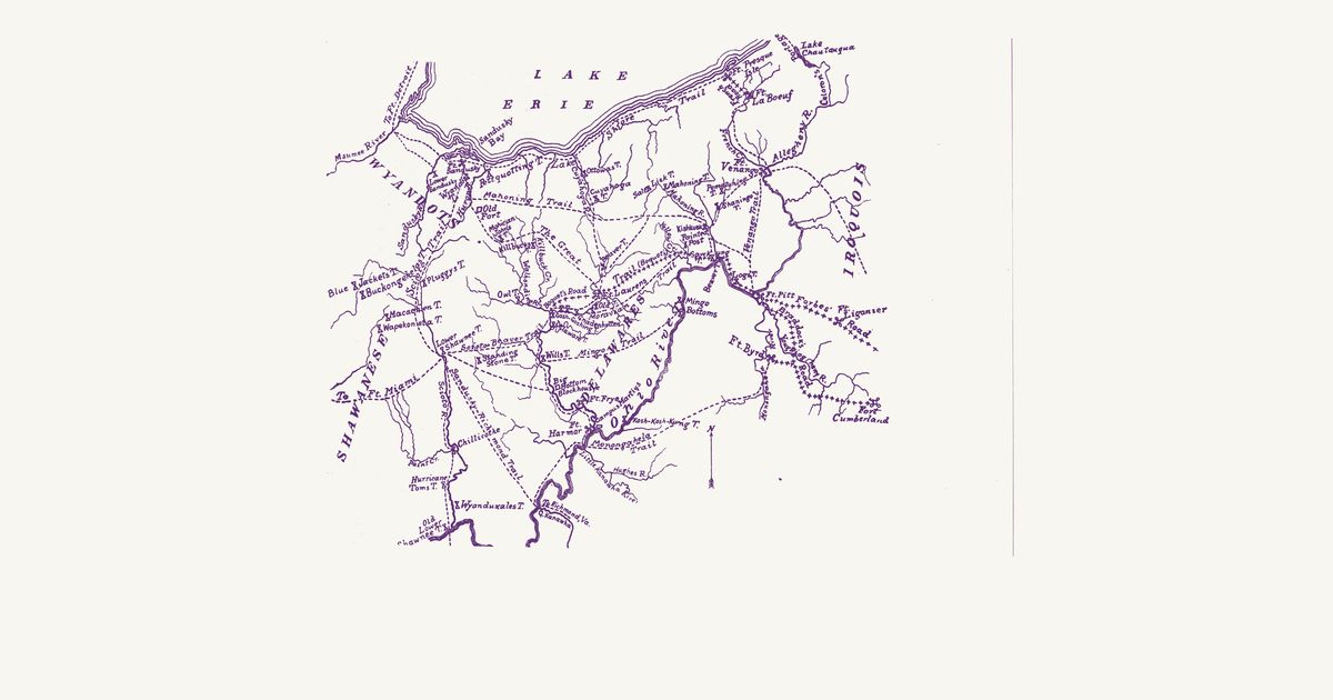
Archer Butler Hulbert’s map of the Indian trails between Lake Erie and the Ohio, after Hutchins: the Great Trail, the Mahoning, Scioto–Beaver, Muskingum and Monongahela trails, the Lake Shore trail, and the towns of the Wyandots, Delawares, Shawnees and Mingoes.

Source: Internet Archive · Rights: public domain

Open in the map

Preview of Ohio Indian trails and towns, 1914

Ohio Indian trails and towns, 1914

William C. Mills, Ohio State Archaeological and Historical Society, 1914 · about 7 km accuracy

The statewide trails plate of William C. Mills' Archaeological Atlas of Ohio: the numbered trail network in red — the Great Trail, the Scioto Trail, the Warriors' Path — with the Native towns named in place: Pickawillany, Wapakoneta, Lower Shawnee Town, Coshocton, the Wyandot towns on the Sandusky, the Moravian Delaware towns on the Tuscarawas.

Source: Internet Archive · Rights: public domain

Open in the map

Preview of The Ohio country towns, 1753

The Ohio country towns, 1753

John Patten (attributed), 1753 · about 82 km accuracy

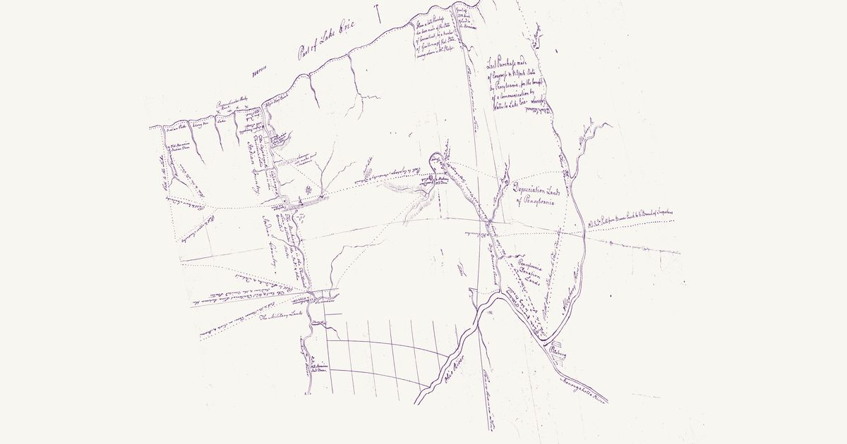
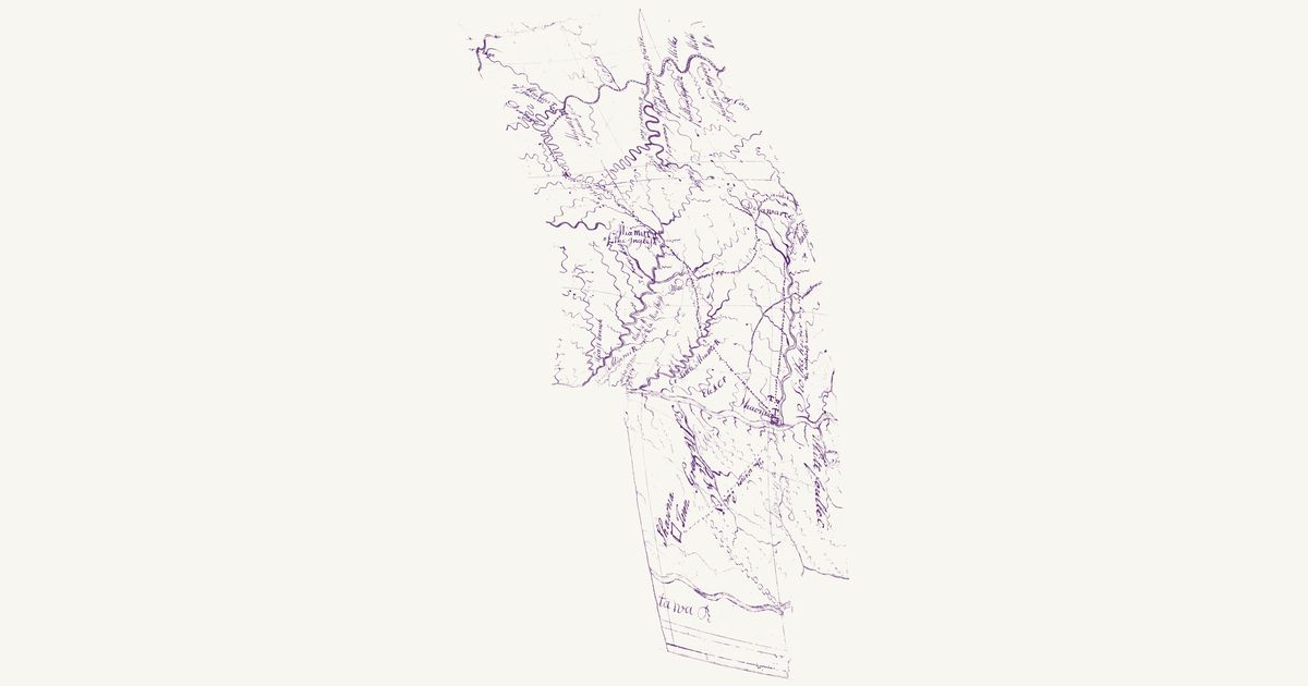
A manuscript sketch of the Ohio country dedicated to the Pennsylvania House of Representatives and attributed to John Patten, a Pennsylvania trader who travelled it in 1750–52; only its western part survives. It draws the Native towns of the traders’ Ohio: the Miami town (Kekionga) beside the French fort at the head of the Maumee, the Miami town of Pickawillany on the Great Miami (“Miamis T. of the Inglesh”, the English traders’ post the French destroyed in 1752), a Lenape (Delaware) town on the upper Scioto, the Shawnee town “Shaonua” at the Scioto mouth, and in Kentucky the Shawnee “Shawna Town” (Eskippakithiki). Dotted paths join the towns — Kekionga up the St. Marys and across to Pickawillany, Pickawillany to the Mad River and on to the Delaware town and the Scioto, and up the Scioto from the Shawnee town — and in Kentucky “the Warriors Path” runs from opposite the Scioto mouth to Shawna Town. Carrying places are lettered “Portage” at the heads of the Maumee’s and the Wabash’s branches, and the Maumee is marked with its still water, falls and rapids. The Wabash, drawn too schematically to place, is not shown; nor are the dedication and the blank paper around the map.

Source: Library of Congress · Rights: public domain

Open in the map

Preview of Western Reserve, 1798 (Pease)

Western Reserve, 1798 (Pease)

Seth Pease, 1798 · about 3 km accuracy

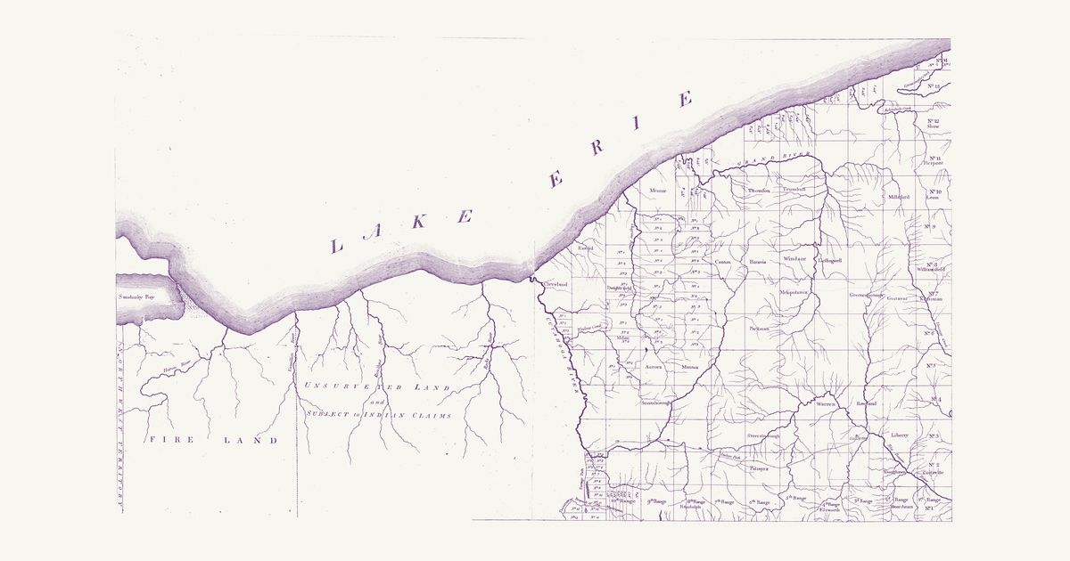
Seth Pease’s map of the Connecticut Western Reserve “from actual Survey”, engraved and printed for the author by Amos Doolittle at New Haven in 1798: northeastern Ohio from the Pennsylvania line west to Sandusky Bay. East of the Cuyahoga it lays out the five-mile townships the Connecticut Land Company’s surveyors ran in 1796–97, numbered by range from the Pennsylvania line and by town from the south line, many of them already named (Cleveland, Euclid, Mentor, Aurora, Warren, Youngstown, Palmyra), the Lake Erie shore and its river mouths, and the Salt Spring on the Big Beaver (Mahoning). West of the Cuyahoga, the Portage Path and the Tuscarawas — the boundary of the treaties of Fort McIntosh (1785) and Greenville (1795) — the country is lettered “Unsurveyed Land and Subject to Indian Claims”, with the Fire Lands at its western end: in the 1790s the country of Wyandot, Lenape (Delaware), Seneca and Odawa towns and hunting camps. A double-dashed “Indian Path” runs from the Cuyahoga at the head of the portage east through Palmyra to the Salt Spring and the Mahoning at the mouth of Mosquito Creek, and the “Portage Path” crosses from the Cuyahoga to the Tuscarawas. Not shown: the title, the notes on the Fire Lands and the survey, the scale of miles and the margins.

Source: Library of Congress · Rights: public domain

Open in the map

Preview of Wilderness trails of Pennsylvania and Ohio, 1910

Wilderness trails of Pennsylvania and Ohio, 1910

Hanna, Charles A. (Charles Augustus), 1863-1950, 1911 · about 11 km accuracy

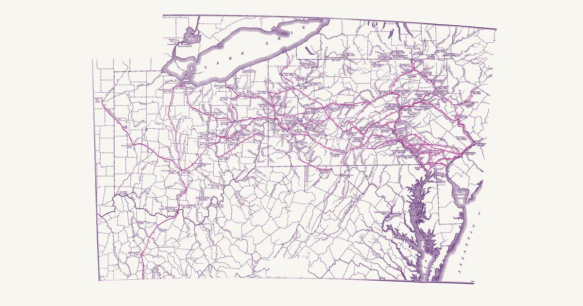
Charles A. Hanna's map of the trails the Pennsylvania traders followed to the Ohio country, in red with the years they were used, and the Indian villages with the dates they stood, from the Delaware to the Maumee.

Source: Internet Archive · Rights: public domain

Open in the map

Preview of Pennsylvania, 1792 (Howell)

Pennsylvania, 1792 (Howell)

Reading Howell, 1792 · about 5 km accuracy

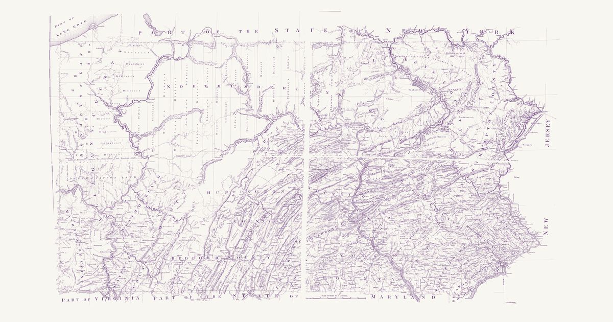
Reading Howell’s map of the state, published at Philadelphia in 1792 and shown here in the facsimile printed for the Pennsylvania Archives in 1896: Pennsylvania from Lake Erie and the Ohio line to the Delaware, with its counties and townships, the Depreciation and Donation lands of the northwest, the district lines of the late surveys, the roads, mills, forges and towns of the new state, and the edges of New York, New Jersey, Delaware, Maryland, Ohio and Virginia. Howell compiled it from the Land Office surveys and the state’s own surveys of its boundaries and rivers. Its Explanation keys “An Indian Path” (a fine dotted line) and “An Indian town” (a small tent): Kuskusky, a Moravian town on the Beaver, Logs Town, Conemaugh, Frankstown and Obeals (Cornplanter’s town) on the Allegheny, and paths of the Lenape (Delaware), Shawnee, Seneca and other Haudenosaunee nations across the north and west — the Snow Shoe path from the West Branch to the Bald Eagle’s Nest, the “Portage 23 Miles” between the Canoe Places of the Allegheny and the Sinnemahoning, the Kittanning path toward Frankstown, the Sheshequin path over Burnet’s Hills, and shorter paths to the Lick on the Elk Lick Branch and to the Salt Spring. Not shown: the copyright notice, the title, the dedication, the Explanation, the mounting strip and cloth seam between the four pieces of the sheet, and the margins.

Source: Library of Congress · Rights: public domain

Open in the map

Preview of Middle British Colonies, 1755

Middle British Colonies, 1755

Lewis Evans, 1755 · about 61 km accuracy

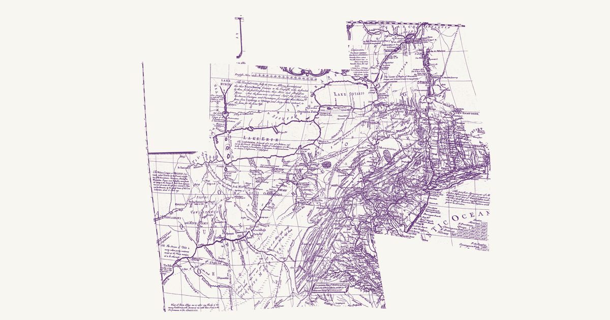
Lewis Evans’s 1755 map of the middle colonies and the Six Nations’ country: the Indian towns of the Ohio and the Susquehanna, the war paths and trading paths with their mileages, the portages, and his notes on the land, from Lake Ontario to the Kentucky country.

Source: Library of Congress · Rights: public domain

Open in the map

Preview of The Ohio country, 1778

The Ohio country, 1778

Thomas Hutchins, 1778 · about 52 km accuracy

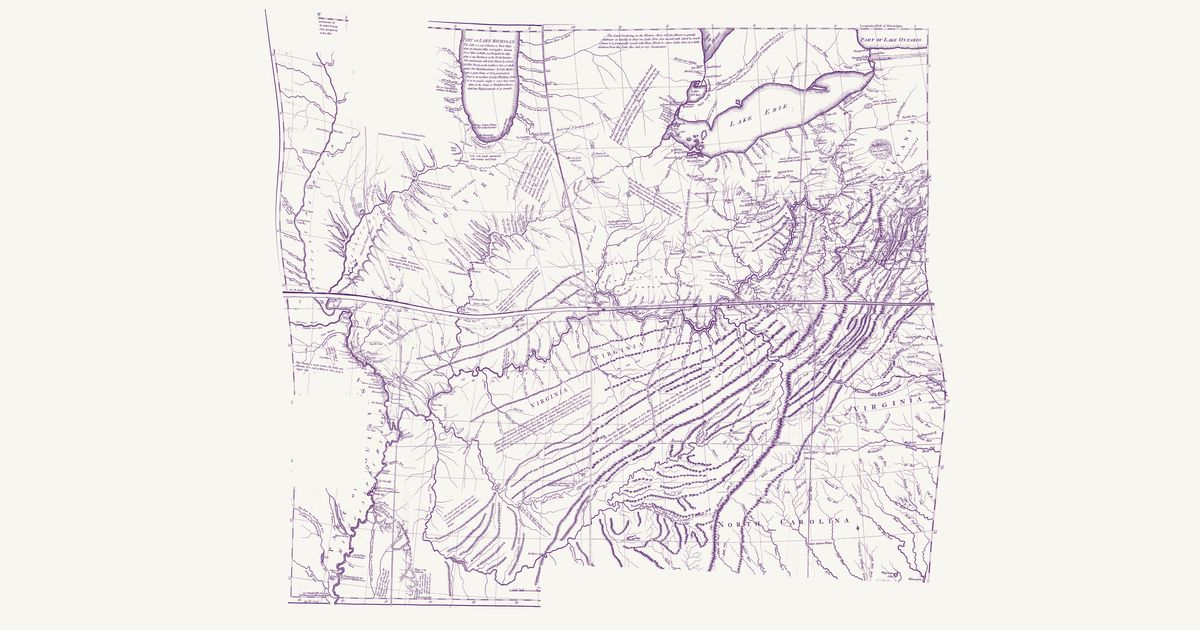
Thomas Hutchins’s map of the Ohio country: the Indian paths and towns between Fort Pitt, Lake Erie and the Scioto, the War Path through the Cumberland Gap to the Cuttawa (Kentucky) country, and the Illinois villages, with his notes on the land.

Source: Library of Congress · Rights: public domain

Open in the map

What the 1914 plate shows

William C. Mills compiled the statewide trails plate of his Archaeological Atlas of Ohio from the county surveys and nineteenth-century histories: the numbered trail network in red — the Great Trail east to the forks of the Ohio, the Scioto Trail south to the river, the Warriors’ Path — with the Native towns named where they stood: Pickawillany, Wapakoneta, Lower Shawnee Town at the Scioto mouth, Coshocton at the forks of the Muskingum, and the Wyandot towns of the Sandusky.

Reading the overlay

Mills drew corridors, not surveyed centerlines: the overlay is fit to about five kilometres. Gallatin’s 1836 continental map stays available in the layer list for the wider picture. Wilcox’s 1933 Ohio Indian Trails is confirmed public domain (its renewal was never filed) and joins when a clean scan of its statewide woodcut surfaces.

Talk about Ohio

Discussion board for OH

Start a thread All discussions

Know Ohio? Join free to add field notes, fix where a place sits on the map, and help find more maps.Join free

Sources from readers

Know a county history, a survey record or an article that bears on this? Add a source — it’s credited to you.

Advertisement