Texas: Native trails and villages

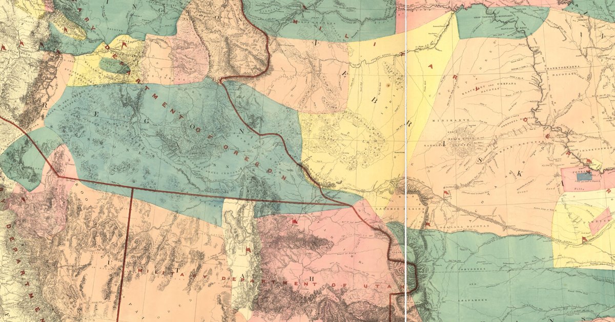
The Comanche, Kiowa, Lipan Apache, Caddo and Wichita countries, from Warren's 1857 War Department map of the West.

Open full-screen map

Advertisement

Historic maps for Texas

Preview of Louisiana, 1820 (Melish)

Louisiana, 1820 (Melish)

John Melish, 1820 · about 31 km accuracy

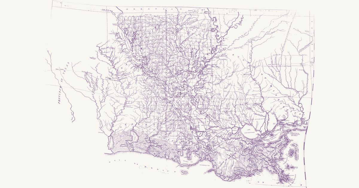
John Melish’s map of the state of Louisiana, published in Philadelphia in 1820 and “constructed from the surveys in the General Land Office and other documents”: the parishes, the township grid of the Louisiana survey run from the Basis Meridian and its base line on the 31st parallel, the Red River, Ouachita, Atchafalaya, Teche and Lafourche country and the Mississippi from the Walnut Hills to its mouths, with southern Mississippi below the Choctaw boundary line and East Texas to Nacogdoches. Among its roads it letters an “Indian Path” from the Ayish Bayou to the “Village of Coshatta Savages” on the Sabine — the Coushatta (Koasati), who had moved west from Alabama after 1763 — and, in Mississippi, an “Old Indian Path” from Sally Jones’s on the Pearl to the Old Agency on the Chickasawhay. It marks Caddo, Nadaco (Anadarko), Yatasse, Coushatta and Choctaw villages and an Indian village north of Opelousas.

Source: Library of Congress · Rights: public domain

Open in the map

Preview of Gallatin's tribes of North America, 1836

Gallatin's tribes of North America, 1836

Hon. Albert Gallatin; published by the American Antiquarian Society, Pendleton's Lithography, 1836 · about 100 km accuracy

Albert Gallatin's founding map of American ethnology, published by the American Antiquarian Society with his Synopsis of the Indian Tribes: the homelands of the continent's nations tinted by language family — Algonkin-Lenape, Iroquois, Cherokee, Muskogee, Choctaw-Chickasaw, Sioux, Blackfeet, Pawnee, Athapasca, Eskimaux — as of about 1600 along the Atlantic and about 1800 westward. A continental baseline: every state shows its nations here.

Source: Library of Congress, Geography and Map Division · Rights: public domain

Open in the map

Preview of New Mexico, 1851 (Parke and Kern)

New Mexico, 1851 (Parke and Kern)

John G. Parke and Richard H. Kern, 1851 · about 45 km accuracy

The first survey map of the new Territory of New Mexico: the pueblos, the Navajo, Apache, Ute and Comanche country, the trails between the springs and the Rio Grande towns, and the routes of the 1846–51 expeditions.

Source: Wikimedia Commons · Rights: public domain

Open in the map

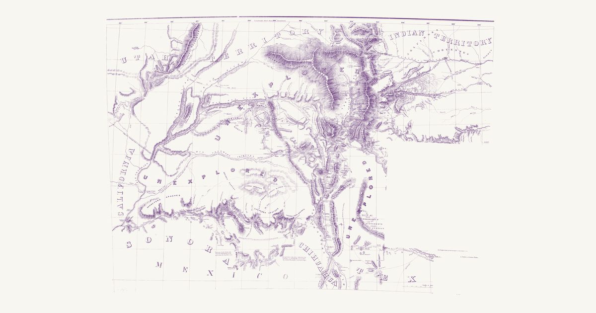
Preview of Territory of New Mexico, 1867

Territory of New Mexico, 1867

U.S. Topographical Engineers, 1867 · about 23 km accuracy

The War Department’s map of the old Territory of New Mexico (today’s New Mexico and Arizona): the Indian trails, springs and water holes, the pueblos, the Navajo, Apache and Ute country, and the routes of the survey and military expeditions of the 1840s and 1850s.

Source: Library of Congress · Rights: public domain
Open in the map

Preview of Indian Territory, northwest, 1875

Indian Territory, northwest, 1875

E. H. Ruffner, U.S. Engineers, 1875 · about 10 km accuracy

The northwest sheet of Lieutenant E. H. Ruffner’s 1875 military map of the Indian Territory, from Fort Dodge to the Antelope Hills: the Indian trails and wagon roads across the Cherokee Outlet, the Cheyenne and Arapaho country and the Panhandle, the springs and the dry beds of streams.

Source: New York Public Library · Rights: public domain

Open in the map

Preview of Indian Territory, southeast, 1875

Indian Territory, southeast, 1875

E. H. Ruffner, U.S. Engineers, 1875 · about 5 km accuracy

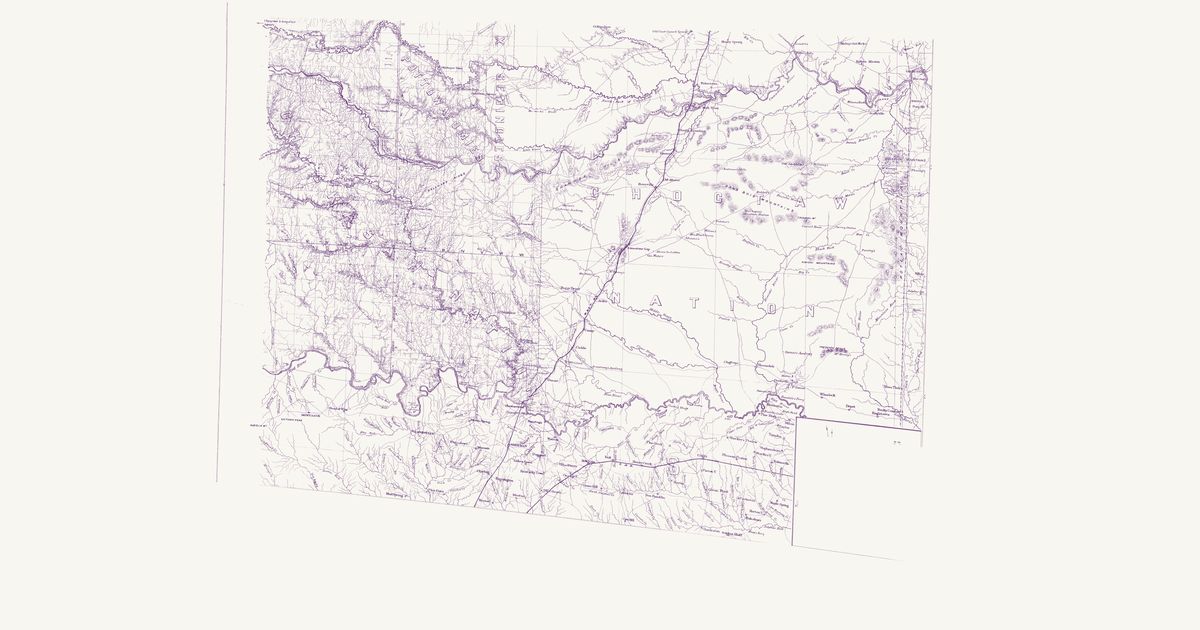
The southeast sheet of Lieutenant E. H. Ruffner’s 1875 military map of the Indian Territory: the Choctaw and Chickasaw nations from the Canadian to the Red River, with the Indian trails, wagon roads, settlements and missions.

Source: New York Public Library · Rights: public domain

Open in the map

Preview of Indian Territory, southwest, 1875

Indian Territory, southwest, 1875

E. H. Ruffner, U.S. Engineers, 1875 · about 5 km accuracy

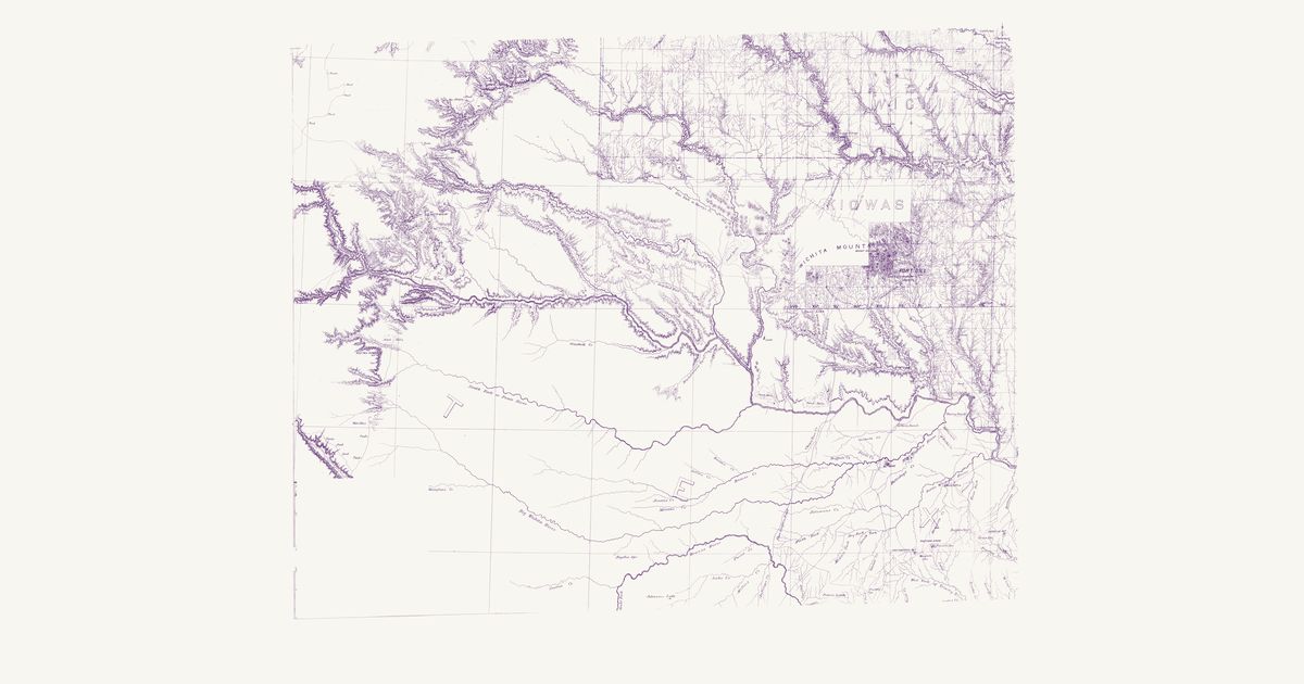
The southwest sheet of Lieutenant E. H. Ruffner’s 1875 military map of the Indian Territory: the Kiowa, Comanche and Wichita country around Fort Sill and the Wichita Mountains, with the Indian trails and roads from the Washita to the Red River.

Source: New York Public Library · Rights: public domain

Open in the map

Preview of West Texas trails, 1867

West Texas trails, 1867

Engineer Bureau, War Department, 1867 · about 23 km accuracy

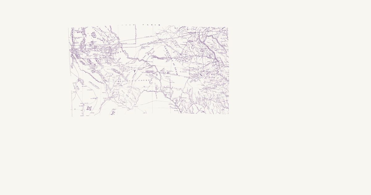
The War Department Engineer Bureau’s 1867 map of Kansas, Texas and Indian Territory, compiled from the Army’s surveys: in the Trans-Pecos it marks the Comanche Trail and the Grand Comanche War Trail south from Comanche Spring toward the Big Bend and Mexico, the Large Indian Trail across the Rio Grande below the Pecos, the Indian trail from the Pecos crossing to the White Sand Hills waterholes, and Indian trails by the Hueco and Cornudas mountains to the salt lakes. Only the West Texas part of its southern sheet is shown.

Source: Wikimedia Commons · Rights: public domain

Open in the map

Preview of Brazos and Big Wichita, 1854 (Marcy)

Brazos and Big Wichita, 1854 (Marcy)

Capt. Randolph B. Marcy, 1854 · about 17 km accuracy

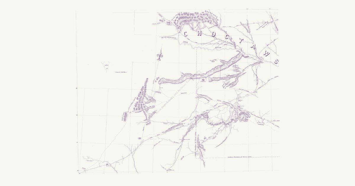
Captain Randolph B. Marcy’s map of his 1854 survey of the upper Brazos and the Big Wichita, made to choose the lands Texas set aside for the Brazos and Comanche reservations: the Indian trails and the Comanche, Kiowa, Wichita and Caddo country between the Red River and the Colorado.

Source: Texas State Library and Archives · Rights: public domain

Open in the map

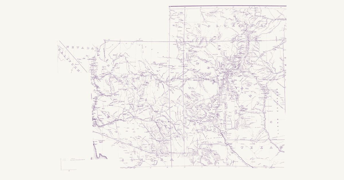
Preview of Red River to the Rio Grande, 1859

Red River to the Rio Grande, 1859

John Pope, Topographical Engineers, 1859 · about 8 km accuracy

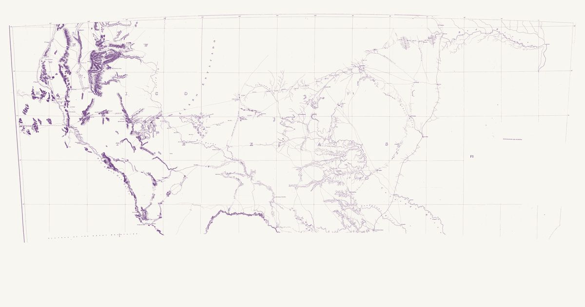
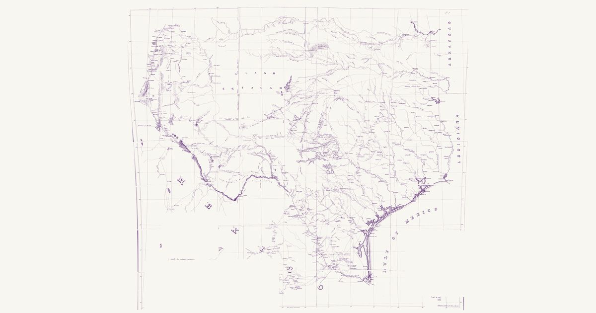
Captain John Pope’s survey map along the 32nd parallel, from the Red River to the Rio Grande: the Comanche and Kiowa trails, springs and water holes across the Staked Plain and the Pecos country, and the routes of the survey parties.

Source: Library of Congress · Rights: public domain
Open in the map

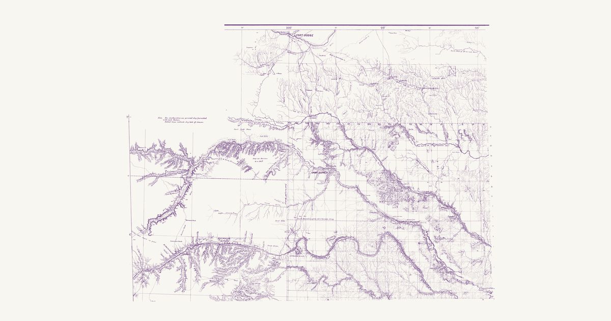
Preview of Texas and New Mexico, 1857

Texas and New Mexico, 1857

U.S. Topographical Engineers, 1857 · about 21 km accuracy

The Army’s 1857 compilation of the routes across Texas and New Mexico: the Comanche Trail from Horsehead Crossing on the Pecos by Comanche Spring toward Mexico, the Indian trails of the Edwards Plateau, and the military roads between the forts.

Source: Library of Congress · Rights: public domain
Open in the map

Preview of Warren's map of the West, 1857

Warren's map of the West, 1857

Lieut. G. K. Warren, Topographical Engineers, U.S. War Department, 1857 · about 50 km accuracy

Lieutenant G. K. Warren's master map of the West, compiled in the Office of Pacific Railroad Surveys from every reliable exploration to date: the named country of each nation — Dacotas, Sheyennes, Comanches, Shoshonees, Utahs, Navajoes, Apaches, Blackfeet, Crows, Nez Perces, Pawnees and many more — with villages, forts, and the explorers' and emigrant routes that followed Native trails.

Source: Library of Congress, Geography and Map Division · Rights: public domain

Open in the map

What the 1857 map shows

Lieutenant G. K. Warren compiled the War Department’s master map of the West from every exploration to date. Each nation’s country is named and tinted, with villages, forts, and the exploration and emigrant routes — most of them following trails travelled for centuries. Use the scan layer: the color tints carry the meaning.

Reading the overlay

At 1:3,000,000 the territory boundaries are Warren’s synthesis, not surveyed lines — read them as whose country, accurate to a few tens of kilometres.

Talk about Texas

Discussion board for TX

Start a thread All discussions

Know Texas? Join free to add field notes, fix where a place sits on the map, and help find more maps.Join free

Sources from readers

Know a county history, a survey record or an article that bears on this? Add a source — it’s credited to you.

Advertisement