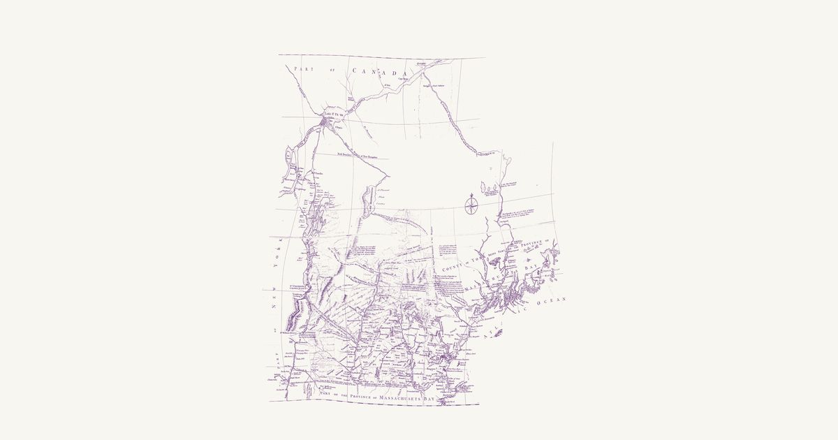
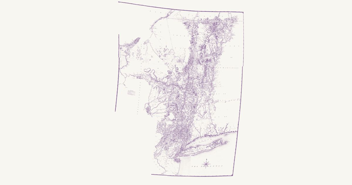
Joseph Blanchard and Samuel Langdon, 1761 · about 20 km accuracy
Joseph Blanchard and Samuel Langdon’s map of New Hampshire, dedicated at Portsmouth in October 1761 and engraved in London by Thomas Jefferys: the province and the country around it in the last French war, from Albany and Lake Champlain to Penobscot Bay and north to Quebec and the St. Lawrence. Its notes record the Wabanaki (Abenaki) ways north to Canada as the colonists of the wars knew them: the “Indian carrying Place from Kennebeck into the River Chaudiere”, drawn as a double-pricked line through three ponds; the Chaudière, “drawn agreable to the Accounts which the Indians give of their Travelling to Canada this way”; the river and lakes by which “Lieut. Starks was led Captive by the Indians from Connecticut River to Canada 1752”; and the ways captives were taken up the Black River, and up Wells River and down the French River toward Lake Champlain. It marks St. Francis (Odanak) by Lake St. Peter, notes Norridgewock on the Kennebec as the seat of a Wabanaki people, and records what “is said by the Indians” of a short carrying place between the heads of the Connecticut and the Androscoggin. This copy carries contemporary ink additions — the New Hampshire Grants townships west of the Connecticut and some northern rivers — left as they are; the upper Chaudière, drawn from report too freely to place, is not shown.
Source: Library of Congress · Rights: public domain
Open in the map