Source of the Mississippi, 1832
Lt. James Allen, U.S. Infantry, 1832 · about 40 km accuracy
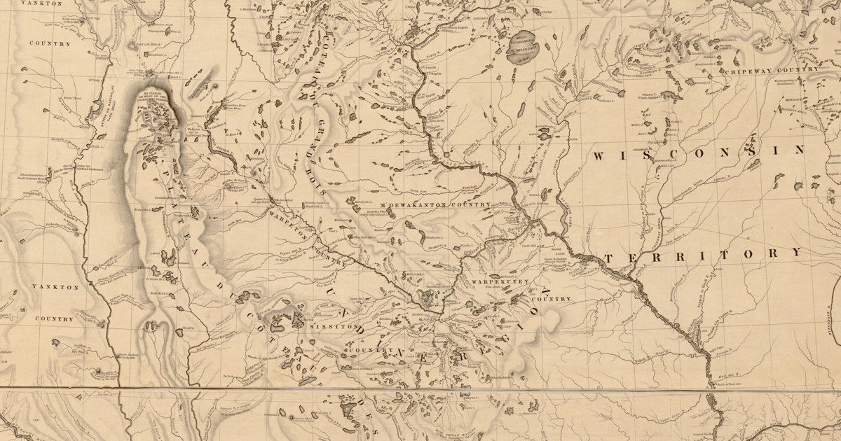
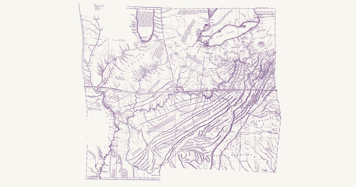
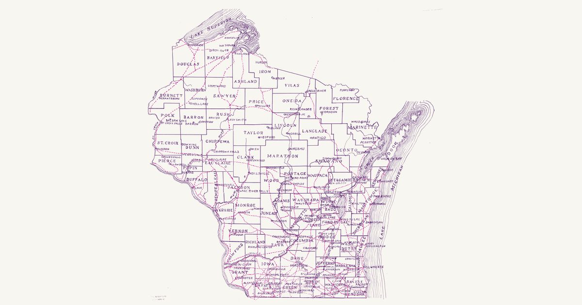
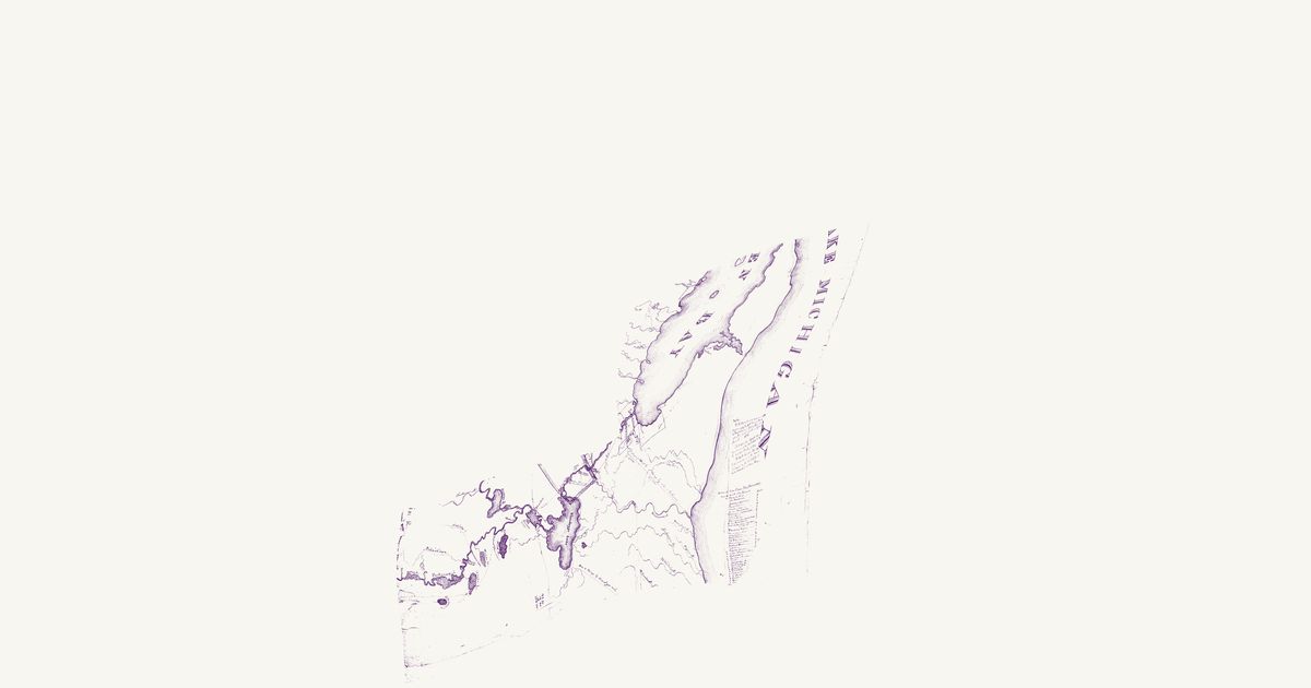
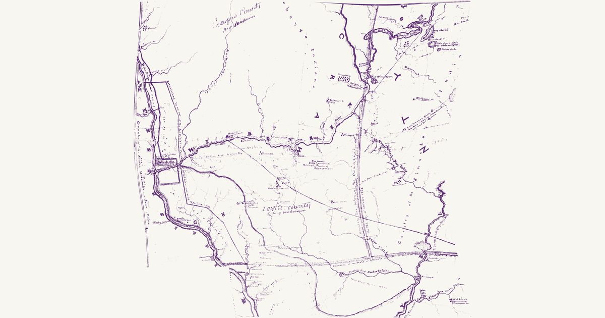
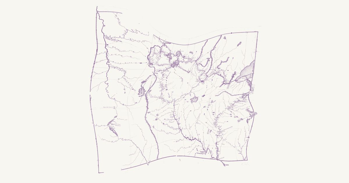
Lieutenant James Allen’s manuscript map of the 1832 expedition that Henry R. Schoolcraft led from Lake Superior to the source of the Mississippi, drawn for the War Department: the route up the St. Louis River and over the Savanna portage to Sandy Lake, up the Mississippi past Pokegama Falls, Lake Winnibigoshish and Cass Lake to Lac Traverse (Lake Bemidji), up its east branch and over the portage to Lake Itasca — “Lac La Biche, Source of the Mississippi” — then by Leech Lake and down the Crow Wing and the Mississippi past the Falls of St. Anthony to Fort Snelling, and up the St. Croix and down the Bois Brule to Lake Superior, with each day’s encampment, portage and rapid noted. It marks Ojibwe (Chippewa) villages at Fond du Lac, Leech Lake, the mouth of the Bois Brule, the Upper St. Croix lake, the Yellow and Kettle rivers and Rice and Muddy lakes in Wisconsin, Dakota (Sioux) villages at Big Stone Lake and below Fort Snelling, and the Sioux–Chippewa line of the 1825 treaty of Prairie du Chien. Three Native routes are drawn and named — an “Indian Route” through a chain of small lakes, with a portage between each, from the expedition’s camp east of Itasca to Leech Lake; an “Indian Route from Leech” south-east through Boy Lake, Turtle Lake and Lac du Canard; and an “Indian Trail” from Muddy Lake to Ottawa Lake (Lac Courte Oreilles) in Wisconsin — Ojibwe routes through their lake country. The Red River valley, which the expedition did not see, is sketched from report; Red Lake, drawn too freely to place, is not shown, nor are the title, north arrow and scale, two labels marking mounds, and the paper lost along the folds.
Source: Wikimedia Commons · Rights: public domain