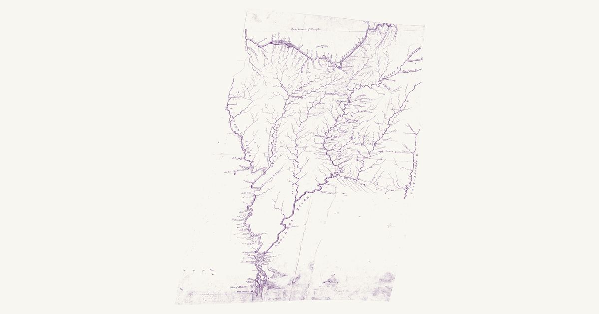
Jackson’s Creek War map, 1813–14
U.S. War Department, 1814 · about 29 km accuracy
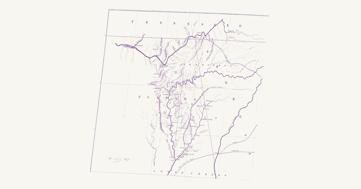
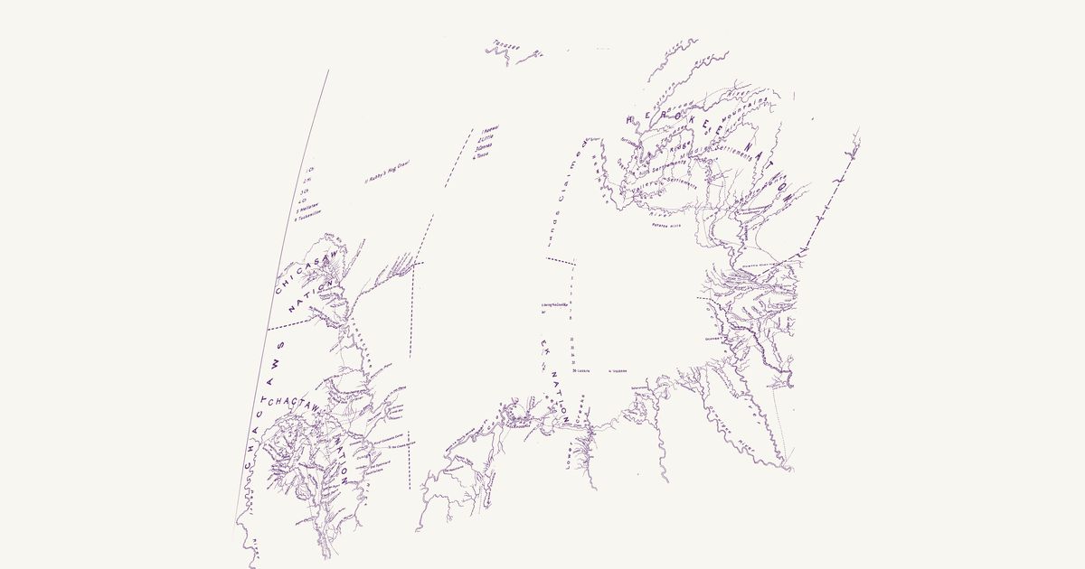
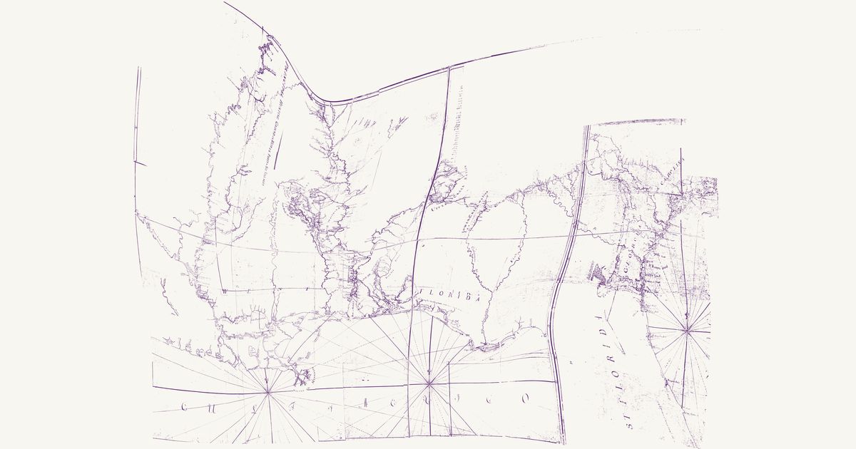
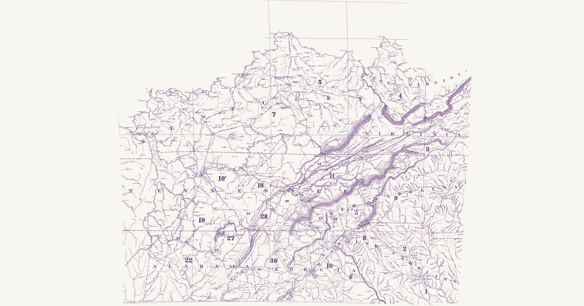
An unsigned War Department manuscript of the country of the Creek War, drawn about 1814 and kept with the Chief of Engineers’ maps: the Tennessee from Ross’s and the Chickamauga down past Huntsville and the Muscle Shoals, and south of it the Tombigbee, Black Warrior, Cahaba, Coosa, Tallapoosa and Alabama rivers down to Mobile, with the Chattahoochee along the east edge. The Muscogee (Creek) Upper Towns stand along the Coosa and the Tallapoosa — Coosa and Coosa Old Town, Abacoochee, Natchez, Eufaula, Hillabee, Soccopoti, Pinthlocca, Lothlocuige, Oakfuskee, Tuckunullahassee, Hickory Ground and Atagi (Attaugu) — and the Cherokee towns along the Tennessee and Wills Creek: Willstown, Turkey’s Town, Crow Town, Nickajack and Running Water. A dashed line lettered “Old Horse path” runs from the Coosa below Tuckunullahassee east past Oakfuskee to Oakfuscoochee and Tallahassee on the Chattahoochee, and a dotted path joins Lothlocuige to Oakfuskee. The map also draws the forts and marching routes of the campaign and notes beside many towns when they were burnt; those are not named here. The title and the scale are not shown.
Source: Wikimedia Commons · Rights: public domain