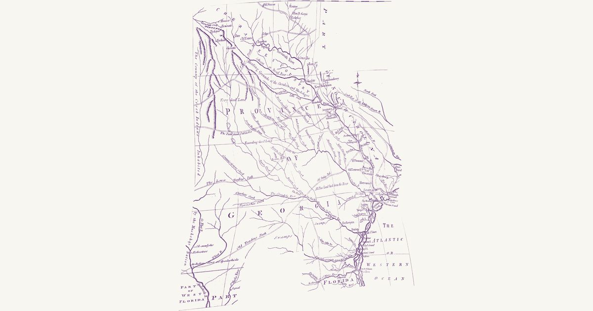
Georgia, 1779 (Universal Magazine)
The Universal Magazine, 1779 · about 71 km accuracy
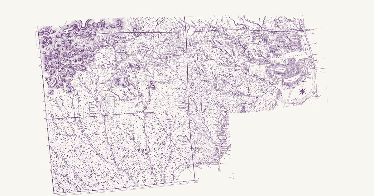
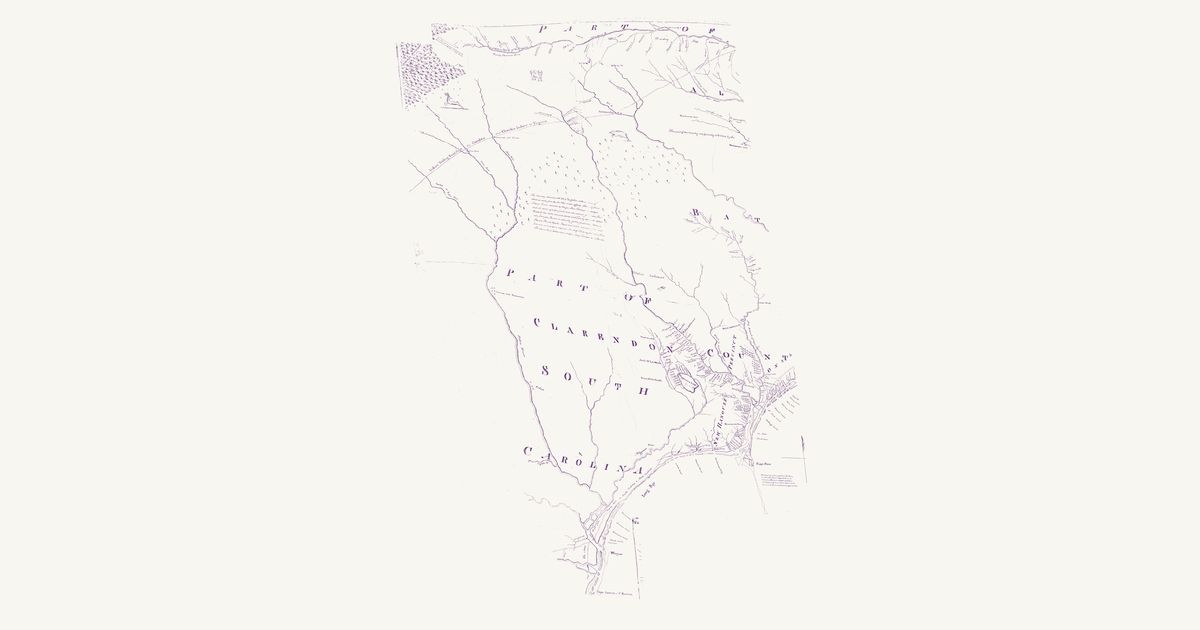
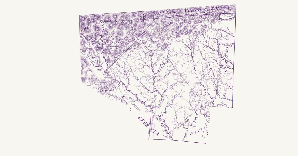
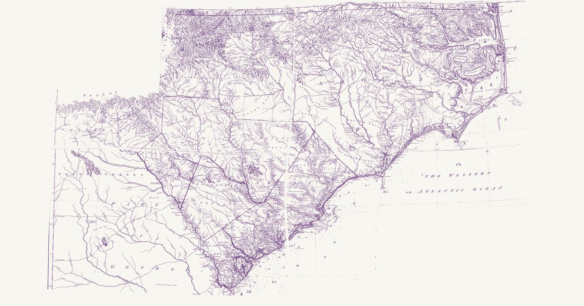
An unsigned engraving from the Universal Magazine of Knowledge and Pleasure (London, April 1779), published four months after the British took Savannah: the province from the Cherokee Lower Towns to the St. Marys and from the Savannah to the Flint, with the edges of South Carolina and the Floridas. Double lines mark the trading paths that tied Augusta to the Muscogee (Creek) and Cherokee towns — the Upper Path to Tugaloo, the Path from Oakfuskee, the Lower Trading Path toward the Lower Creek towns, and the Old Trading Path from the Apalachicola past the forks of the Altamaha to the Savannah — and shorter paths run from Keowee, Estatoe and Tugaloo toward the Carolina settlements. The map names the Cherokee country and the hunting grounds of the Cherokees and Muskogees, sets “the Country of the Creek Indians inhabited by the Muskohge Nation” along its western edge, and puts the Lower Creek towns of Okmulgee and Hitchiti on the river it calls the Great Flint. Dotted lines mark the province’s bounds. The Great Swamp (the Okefenokee) and its legendary island, drawn from report far west of its place, are not shown; nor is the title.
Source: Library of Congress · Rights: public domain